MapsGL - Weather & Map Layers
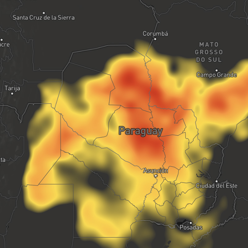
The MapsGL SDK includes a variety of pre-configured weather layers for you to quickly add to your maps. These built-in layers are styled using standard styles from our raster maps product by default except for new layers made possible with the MapsGL SDK.
While the built-in weather layers are already configured with default styles, you can fully customize their appearance by overriding the default style configuration. Refer to the styling weather data documentation for more details and examples of customizing weather layers.
Supported layers
The following built-in weather layers are supported within MapsGL. Refer to the layer categories and their respective layers for more information about each layer, including update frequency and coverage regions:
- Style: Layer style used when rendering the layer, using default paint styles that can be overridden
- Animates: Whether the layer is animatable using the MapsGL map timeline
- Updates: Update frequency for the data
- Range: How far back (negative ranges) or how far into the future (positive ranges) the data is available for relative to now. Past ranges consist of archived observed data, whereas future ranges indicate forecast model data. Some weather layers contain both archive and forecast data, in which case time ranges in the past will return archive data and time ranges in the future will return forecast data.
- Regions: Coverage regions included with the data set.
Search
Platform
All
All available weather layers.
admin-2-boundaries
Administrative information for country borders.
SDK Support
Javascript
>= 1.5.0
Apple
>= 1.2.0
Android
>= 1.2.0
Regions
Global
Type
Animates
No
Updates
-
Range
-
admin-3-4-boundaries
Administrative information for geographical regions such as states and provinces.
SDK Support
Javascript
>= 1.5.0
Apple
>= 1.2.0
Android
>= 1.2.0
Regions
Global
Type
Animates
No
Updates
-
Range
-
admin-5-6-boundaries
Administrative information for regions, districts, and counties.
SDK Support
Javascript
>= 1.5.0
Apple
>= 1.2.0
Android
>= 1.2.0
Regions
Global
Type
Animates
No
Updates
-
Range
-
air-quality-co
Measures the concentration of carbon monoxide (CO) in the air. Vehicles and other machinery that burn fossil fuels are the greatest sources of CO.
SDK Support
Javascript
>= 1.2.2
Apple
>= 1.0.0
Android
>= 1.0.0
Regions
Global
Type
Animates
Yes
Updates
3 hour
Range
-15 to +4.5 days
air-quality-co-text
Concentration of carbon monoxide (CO) in the air as text values for global locations.
SDK Support
Javascript
>= 1.5.0
Apple
-
Android
-
Regions
Global
Type
Animates
Yes
Updates
3 hour
Range
-15 to +4.5 days
air-quality-health-index-categories
Vaisala Xweather Air Quality Health Index, presenting how air quality affects an individual's health.
SDK Support
Javascript
>= 1.4.2
Apple
>= 1.0.0
Android
>= 1.0.0
Regions
Global
Type
Animates
Yes
Updates
12 hour
Range
-15 to +4.5 days
air-quality-index
Reflects the concentration of key air pollutants and how they related to health concerns.
SDK Support
Javascript
>= 1.2.2
Apple
>= 1.0.0
Android
>= 1.0.0
Regions
Global
Type
Animates
Yes
Updates
3 hour
Range
-15 to +4.5 days
air-quality-index-cai-categories
Korean Comprehensive Air-quality Index (CAI) categories and calculations
SDK Support
Javascript
>= 1.0.0
Apple
>= 1.0.0
Android
>= 1.0.0
Regions
Global
Type
Animates
Yes
Updates
3 hour
Range
-15 to +4.5 days
air-quality-index-cai-text
Korean Comprehensive Air-quality Index (CAI) categories and calculations as text values for global locations.
SDK Support
Javascript
>= 1.5.0
Apple
-
Android
-
Regions
Global
Type
Animates
Yes
Updates
3 hour
Range
-15 to +4.5 days
air-quality-index-categories
Reflects the concentration of key air pollutants and how they related to health concerns. AQI is depicted by the AirNow air quality categories as outlined at https://www.airnow.gov/aqi/aqi-basics/
SDK Support
Javascript
>= 1.2.2
Apple
>= 1.0.0
Android
>= 1.0.0
Regions
Global
Type
Animates
Yes
Updates
3 hour
Range
-15 to +4.5 days
air-quality-index-china-categories
Chinese Government AQI categories
SDK Support
Javascript
>= 1.4.2
Apple
>= 1.0.0
Android
>= 1.0.0
Regions
Global
Type
Animates
Yes
Updates
3 hour
Range
-15 to +4.5 days
air-quality-index-china-text
Chinese Government AQI calculations as text values for global locations.
SDK Support
Javascript
>= 1.5.0
Apple
-
Android
-
Regions
Global
Type
Animates
Yes
Updates
3 hour
Range
-15 to +4.5 days
air-quality-index-eaqi-categories
European Air Quality Index categories and calculations
SDK Support
Javascript
>= 1.4.2
Apple
>= 1.0.0
Android
>= 1.0.0
Regions
Global
Type
Animates
Yes
Updates
3 hour
Range
-15 to +4.5 days
air-quality-index-eaqi-text
European Air Quality Index calculations as text values for global locations.
SDK Support
Javascript
>= 1.5.0
Apple
-
Android
-
Regions
Global
Type
Animates
Yes
Updates
3 hour
Range
-15 to +4.5 days
air-quality-index-india-categories
India AQI categories
SDK Support
Javascript
>= 1.4.2
Apple
>= 1.0.0
Android
>= 1.0.0
Regions
Global
Type
Animates
Yes
Updates
3 hour
Range
-15 to +4.5 days
air-quality-index-india-text
India AQI calculations as text values for global locations.
SDK Support
Javascript
>= 1.5.0
Apple
-
Android
-
Regions
Global
Type
Animates
Yes
Updates
3 hour
Range
-15 to +4.5 days
air-quality-index-text
Air quality index as text values for global locations.
SDK Support
Javascript
>= 1.5.0
Apple
-
Android
-
Regions
Global
Type
Animates
Yes
Updates
3 hour
Range
-15 to +4.5 days
air-quality-index-uba-daqi-categories
German Air Quality categories and calculations
SDK Support
Javascript
>= 1.4.2
Apple
>= 1.0.0
Android
>= 1.0.0
Regions
Global
Type
Animates
Yes
Updates
3 hour
Range
-15 to +4.5 days
air-quality-index-uba-daqi-text
German Air Quality calculations as text values for global locations.
SDK Support
Javascript
>= 1.5.0
Apple
-
Android
-
Regions
Global
Type
Animates
Yes
Updates
3 hour
Range
-15 to +4.5 days
air-quality-index-uk-daqi-categories
UK AQI categories and calculations
SDK Support
Javascript
>= 1.4.2
Apple
>= 1.0.0
Android
>= 1.0.0
Regions
Global
Type
Animates
Yes
Updates
3 hour
Range
-15 to +4.5 days
air-quality-index-uk-daqi-text
UK AQI calculations as text values for global locations.
SDK Support
Javascript
>= 1.5.0
Apple
-
Android
-
Regions
Global
Type
Animates
Yes
Updates
3 hour
Range
-15 to +4.5 days
air-quality-no
Measures the concentration of nitrogen monoxide (NO) in the air.
SDK Support
Javascript
>= 1.2.2
Apple
>= 1.0.0
Android
>= 1.0.0
Regions
Global
Type
Animates
Yes
Updates
3 hour
Range
-15 to +4.5 days
air-quality-no2
Measures the concentration of nitrogen dioxide (NO2) in the air. NO2 primarily gets in the air from the burning of fuel and forms from the emissions from vehicles, power plants and off-road equipment.
SDK Support
Javascript
>= 1.2.2
Apple
>= 1.0.0
Android
>= 1.0.0
Regions
Global
Type
Animates
Yes
Updates
3 hour
Range
-15 to +4.5 days
air-quality-no2-text
Concentration of nitrogen dioxide (NO2) in the air as text values for locations globally.
SDK Support
Javascript
>= 1.5.0
Apple
-
Android
-
Regions
Global
Type
Animates
Yes
Updates
3 hour
Range
-15 to +4.5 days
air-quality-no-text
Concentration of nitrogen monoxide (NO) in the air as text values for global locations.
SDK Support
Javascript
>= 1.5.0
Apple
-
Android
-
Regions
Global
Type
Animates
Yes
Updates
3 hour
Range
-15 to +4.5 days
air-quality-o3
Measures the concentration of ozone (O3) in the air.
SDK Support
Javascript
>= 1.2.2
Apple
>= 1.0.0
Android
>= 1.0.0
Regions
Global
Type
Animates
Yes
Updates
3 hour
Range
-15 to +4.5 days
air-quality-o3-text
Concentration of ozone (O3) in the air as text values for locations globally.
SDK Support
Javascript
>= 1.5.0
Apple
-
Android
-
Regions
Global
Type
Animates
Yes
Updates
3 hour
Range
-15 to +4.5 days
air-quality-pm10
Measures the concentration of particulate matter in the air whose particles are generally 10 micrometers and smaller (PM10).
SDK Support
Javascript
>= 1.2.2
Apple
>= 1.0.0
Android
>= 1.0.0
Regions
Global
Type
Animates
Yes
Updates
3 hour
Range
-15 to +4.5 days
air-quality-pm10-text
Concentration of particulate matter in the air as text values for locations globally.
SDK Support
Javascript
>= 1.5.0
Apple
-
Android
-
Regions
Global
Type
Animates
Yes
Updates
3 hour
Range
-15 to +4.5 days
air-quality-pm2p5
Measures the concentration of particulate matter in the air whose particles are generally 2.5 micrometers and smaller (PM2.5).
SDK Support
Javascript
>= 1.2.2
Apple
>= 1.0.0
Android
>= 1.0.0
Regions
Global
Type
Animates
Yes
Updates
3 hour
Range
-15 to +4.5 days
air-quality-pm2p5-text
Concentration of particulate matter in the air as text values for locations globally.
SDK Support
Javascript
>= 1.5.0
Apple
-
Android
-
Regions
Global
Type
Animates
Yes
Updates
3 hour
Range
-15 to +4.5 days
air-quality-so2
Measures the concentration of sulfur dioxide (SO2) in the air. SO2 results from the burning of either sulfur or materials containing sulfur.
SDK Support
Javascript
>= 1.2.2
Apple
>= 1.0.0
Android
>= 1.0.0
Regions
Global
Type
Animates
Yes
Updates
3 hour
Range
-15 to +4.5 days
air-quality-so2-text
Concentration of sulfur dioxide (SO2) as text values for locations globally.
SDK Support
Javascript
>= 1.5.0
Apple
-
Android
-
Regions
Global
Type
Animates
Yes
Updates
3 hour
Range
-15 to +4.5 days
alerts
All currently active US, Canadian and European alerts as issued by the National Weather Service (NWS), Environment Canada (EC), MeteoAlarm, Australian Bureau of Meteorology (AUSBOM), and the UK Met Office.
SDK Support
Javascript
>= 1.0.0
Apple
>= 1.2.0
Android
>= 1.2.0
Regions
US, Canada, Europe, Australia, Brazil, India, Mexico, South Africa, South Korea, Japan
Type
Animates
Yes
Updates
2 min
Range
-7 days

alerts-outline
All currently active US, Canadian and European alerts as issued by the National Weather Service (NWS), Environment Canada (EC), MeteoAlarm, and the UK Met Office.
SDK Support
Javascript
>= 1.0.0
Apple
>= 1.2.0
Android
>= 1.2.0
Regions
US, Canada, Europe, Australia, South Korea, South Africa, Brazil, India, Japan, Mexico
Type
Animates
Yes
Updates
2 min
Range
-7 days
boundaries
Administrative and natural boundaries.
Composite Layer
This layer is a composite layer that is a combination of the following layers:
admin-2-boundaries, admin-3-4-boundaries, admin-5-6-boundaries, waterway-ocean-boundaries, waterway-lake-river-boundariesSDK Support
Javascript
>= 1.5.0
Apple
>= 1.2.0
Android
>= 1.2.0
Regions
Global
Type
composite
Animates
No
Updates
-
Range
-
cloud-cover
Cloud cover as a percentage.
SDK Support
Javascript
>= 1.4.0
Apple
>= 1.0.0
Android
>= 1.0.0
Regions
Global
Type
Animates
Yes
Updates
1 hour
Range
-7 days to +15 days
convective
Provides information on potential severe weather, including thunderstorms, tornadoes, damaging high winds, and hail as issued by the Storm Prediciton Center (SPC).
SDK Support
Javascript
>= 1.0.0
Apple
>= 1.2.0
Android
>= 1.2.0
Regions
Type
Animates
No
Updates
Varies
Range
+8 days
convective-outline
Provides information on potential severe weather, including thunderstorms, tornadoes, damaging high winds, and hail as issued by the Storm Prediciton Center (SPC).
SDK Support
Javascript
>= 1.0.0
Apple
>= 1.2.0
Android
>= 1.2.0
Regions
Type
Animates
No
Updates
Varies
Range
+8 days
dew-points
Dew point temperature.
SDK Support
Javascript
>= 1.0.0
Apple
>= 1.0.0
Android
>= 1.0.0
Regions
Global
Type
Animates
Yes
Updates
1 hour
Range
-7 to +15 days
dew-points-text
Dew point temperature as text values for global locations.
SDK Support
Javascript
>= 1.5.0
Apple
-
Android
-
Regions
Global
Type
Animates
Yes
Updates
1 hour
Range
-7 to +15 days
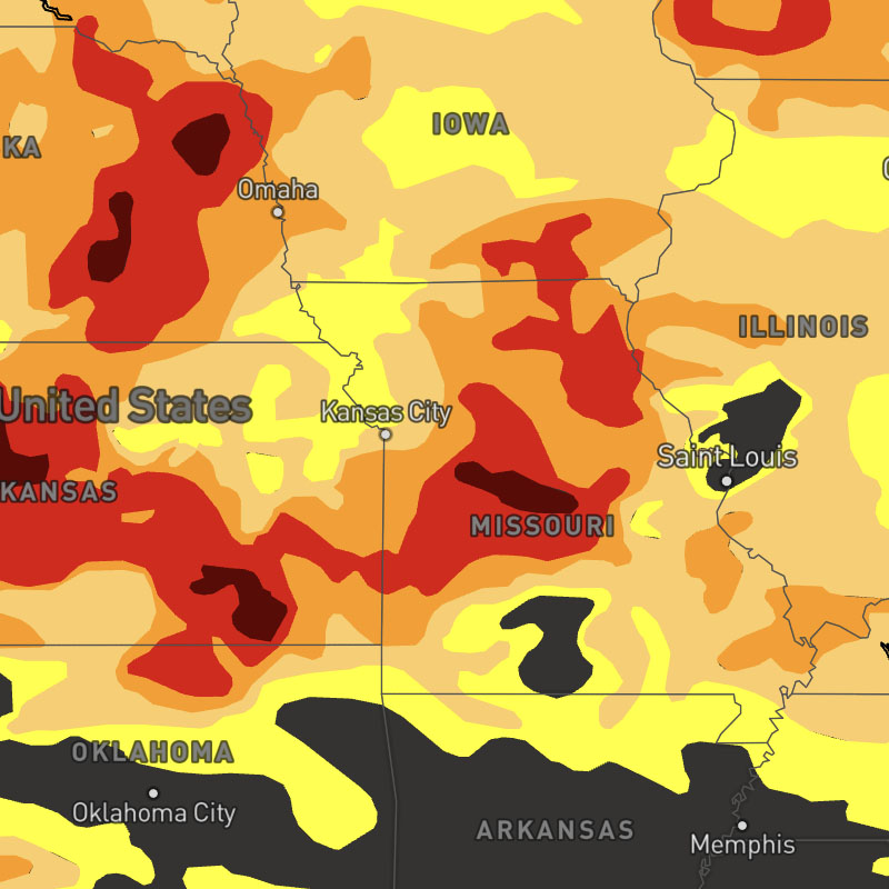
drought-monitor
Latest drought summary and severity as issued by the National Drought Mitigation Center.
SDK Support
Javascript
>= 1.0.0
Apple
>= 1.2.0
Android
>= 1.2.0
Regions
US
Type
Animates
No
Updates
1 week
Range
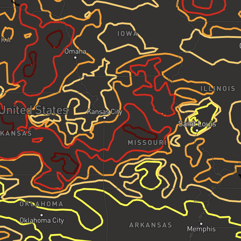
drought-monitor-outline
Latest drought summary and severity as issued by the National Drought Mitigation Center.
SDK Support
Javascript
>= 1.0.0
Apple
>= 1.2.0
Android
>= 1.2.0
Regions
US
Type
Animates
No
Updates
1 week
Range
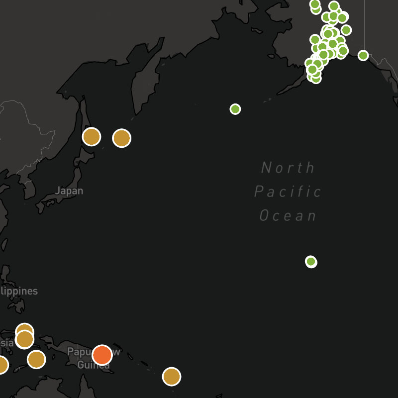
earthquakes
Real-time global earthquake information.
SDK Support
Javascript
>= 1.0.0
Apple
>= 1.2.0
Android
>= 1.2.0
Regions
Global
Type
Animates
No
Updates
5 min
Range
-7 days
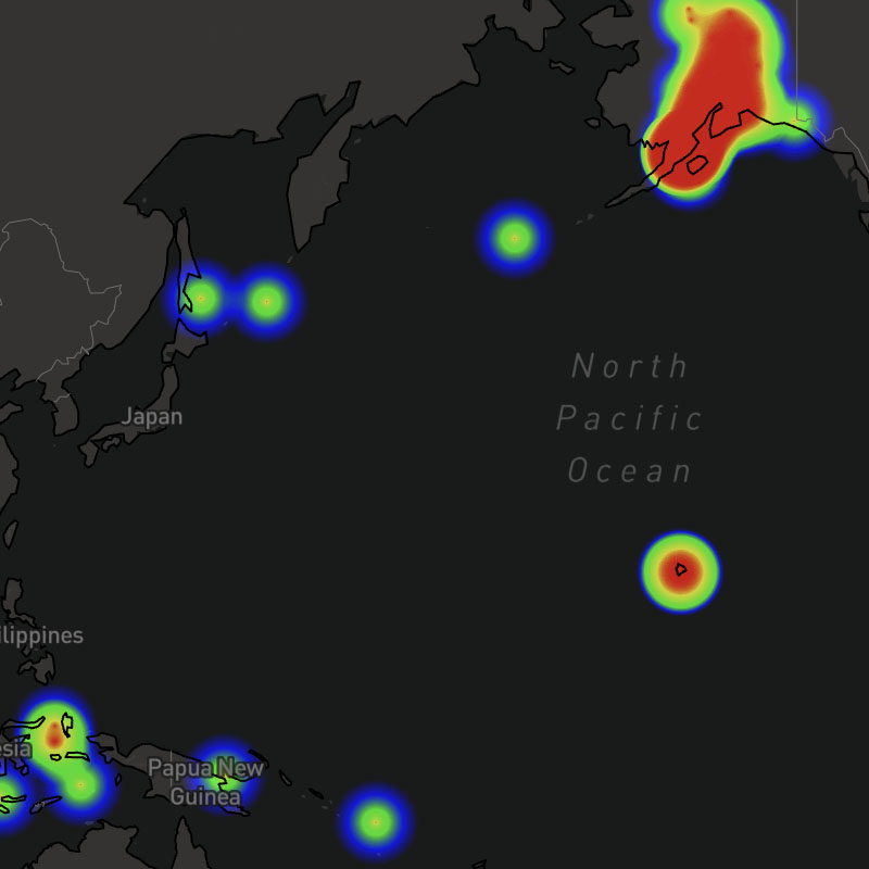
earthquakes-heat
Real-time global earthquake information.
SDK Support
Javascript
>= 1.0.0
Apple
>= 1.2.0
Android
>= 1.2.0
Regions
Global
Type
Animates
No
Updates
5 min
Range
-7 days
feels-like
Feels-like, or apparent, temperature. This is a combination of the heat index for temperatures at or above 80F (26.67C) or wind chill at temperatures at or below 40F (4.44C).
SDK Support
Javascript
>= 1.0.0
Apple
>= 1.0.0
Android
>= 1.0.0
Regions
Global
Type
Animates
Yes
Updates
1 hour
Range
-7 to +15 days
feels-like-text
Feels-like, or apparent, temperatures as text values for global locations.
SDK Support
Javascript
>= 1.5.0
Apple
-
Android
-
Regions
Global
Type
Animates
Yes
Updates
1 hour
Range
-7 to +15 days
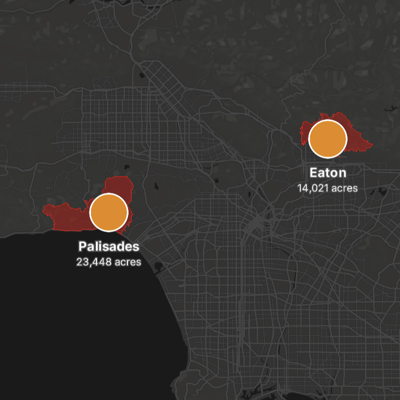
fires
Active wildfire positions, names, and perimeters when available.
Composite Layer
This layer is a composite layer that is a combination of the following layers:
fires-obs, fires-obs-names, fires-perimeterSDK Support
Javascript
>= 1.6.5
Apple
>= 1.2.0
Android
>= 1.2.0
Regions
US, Canada
Type
composite
Animates
Yes
Updates
1 day
Range
-7 days
fires-icons
Active wildfire positions (icons), names, and perimeters when available.
Composite Layer
This layer is a composite layer that is a combination of the following layers:
fires-obs-icons, fires-obs-names, fires-perimeterSDK Support
Javascript
>= 1.6.5
Apple
>= 1.2.0
Android
>= 1.2.0
Regions
Type
composite
Animates
Yes
Updates
1 day
Range
-7 days
fires-obs
Positions of currently active wildfires.
SDK Support
Javascript
>= 1.0.0
Apple
>= 1.2.0
Android
>= 1.2.0
Regions
US, Canada
Type
Animates
Yes
Updates
1 day
Range
-7 days
fires-obs-heat
Currently active wildfires.
SDK Support
Javascript
>= 1.0.0
Apple
>= 1.2.0
Android
>= 1.2.0
Regions
US, Canada
Type
Animates
Yes
Updates
1 day
Range
fires-obs-icons
Positions (icons) of currently active wildfires.
SDK Support
Javascript
>= 1.6.5
Apple
>= 1.2.0
Android
>= 1.2.0
Regions
US, Canada
Type
Animates
Yes
Updates
1 day
Range
-7 days
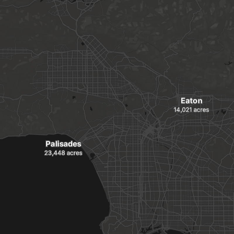
fires-obs-names
Names and acreage of currently active wildfires.
SDK Support
Javascript
>= 1.6.5
Apple
>= 1.2.0
Android
>= 1.2.0
Regions
US, Canada
Type
Animates
Yes
Updates
1 day
Range
-7 days
fires-outlook
Fire weather outlooks and fire conditions as issued by the Storm Prediction Center (SPC).
fires-perimeter
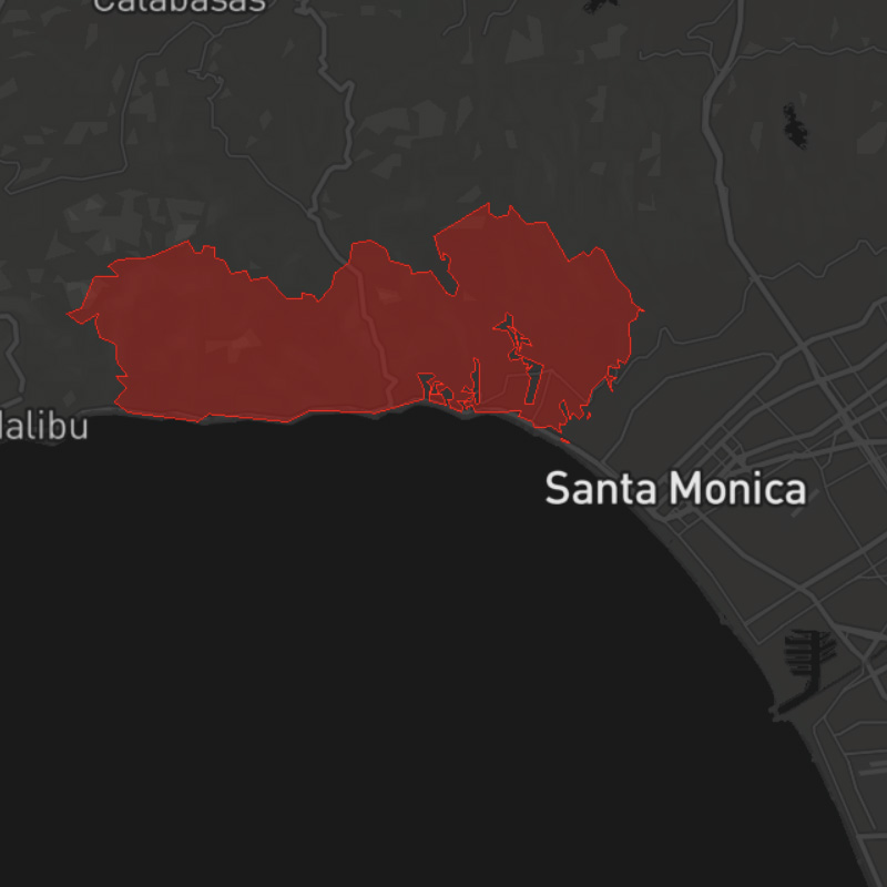
Depicts the boundaries of active wildfires, outlining the affected area to help assess impact, track fire progression, and support emergency response efforts
SDK Support
Javascript
>= 1.5.2
Apple
>= 1.2.0
Android
>= 1.2.0
Regions
Continental US
Type
Animates
No
Updates
Range
fires-vpd
Indicates the difference between the amount of moisture in the air and its maximum holding capacity. Higher VPD indicates drier conditions, increasing vegetation flammability and wildfire risk.

froad-weather-risk-hydroplane-australia
Extended forecast. Depicts the risk of a hydroplaning due to weather and road conditions.
SDK Support
Javascript
>= 1.5.3
Apple
-
Android
-
Regions
Australia
Type
Animates
No
Updates
6 hours
Range
+24 hours

froad-weather-risk-hydroplane-europe
Extended forecast. Depicts the risk of a hydroplaning due to weather and road conditions.
SDK Support
Javascript
>= 1.4.3
Apple
-
Android
-
Regions
Europe
Type
Animates
No
Updates
6 hours
Range
+24 hours

froad-weather-risk-hydroplane-japan
Extended forecast. Depicts the risk of a hydroplaning due to weather and road conditions.
SDK Support
Javascript
>= 1.4.3
Apple
-
Android
-
Regions
Japan
Type
Animates
No
Updates
6 hours
Range
+24 hours

froad-weather-risk-hydroplane-new-zealand
Extended forecast. Depicts the risk of a hydroplaning due to weather and road conditions.
SDK Support
Javascript
>= 1.5.3
Apple
-
Android
-
Regions
New Zealand
Type
Animates
No
Updates
6 hours
Range
+24 hours

froad-weather-risk-hydroplane-us
Extended forecast. Depicts the risk of a hydroplaning due to weather and road conditions.
froad-weather-risk-low-viz-fog-australia
Extended forecast. Depicts the risk of experiencing reduced visibility due to fog.
froad-weather-risk-low-viz-fog-europe
Extended forecast. Depicts the risk of experiencing reduced visibility due to fog.

froad-weather-risk-low-viz-fog-japan
Extended forecast. Depicts the risk of experiencing reduced visibility due to fog.

froad-weather-risk-low-viz-fog-new-zealand
Extended forecast. Depicts the risk of experiencing reduced visibility due to fog.
SDK Support
Javascript
-
Apple
-
Android
-
Regions
New Zealand
Type
Animates
No
Updates
6 hours
Range
+24 hours

froad-weather-risk-low-viz-fog-us
Extended forecast. Depicts the risk of experiencing reduced visibility due to fog.

froad-weather-risk-low-viz-snow-australia
Extended forecast. Depicts the risk of experiencing reduced visibility due to snow.

froad-weather-risk-low-viz-snow-europe
Extended forecast. Depicts the risk of experiencing reduced visibility due to snow.

froad-weather-risk-low-viz-snow-japan
Extended forecast. Depicts the risk of experiencing reduced visibility due to snow.

froad-weather-risk-low-viz-snow-new-zealand
Extended forecast. Depicts the risk of experiencing reduced visibility due to snow.
SDK Support
Javascript
-
Apple
-
Android
-
Regions
New Zealand
Type
Animates
No
Updates
6 hours
Range
+24 hours

froad-weather-risk-low-viz-snow-us
Extended forecast. Depicts the risk of experiencing reduced visibility due to snow.

froad-weather-risk-rollover-australia
Extended forecast. Depicts the risk of a rollover due to weather and road conditions.
SDK Support
Javascript
>= 1.5.3
Apple
-
Android
-
Regions
Australia
Type
Animates
No
Updates
6 hours
Range
+24 hours
froad-weather-risk-rollover-europe
Extended forecast. Depicts the risk of a rollover due to weather and road conditions.
SDK Support
Javascript
>= 1.4.3
Apple
-
Android
-
Regions
Europe
Type
Animates
No
Updates
6 hours
Range
+24 hours

froad-weather-risk-rollover-japan
Extended forecast. Depicts the risk of a rollover due to weather and road conditions.
SDK Support
Javascript
>= 1.4.3
Apple
-
Android
-
Regions
Japan
Type
Animates
No
Updates
6 hours
Range
+24 hours

froad-weather-risk-rollover-new-zealand
Extended forecast. Depicts the risk of a rollover due to weather and road conditions.
SDK Support
Javascript
>= 1.5.3
Apple
-
Android
-
Regions
New Zealand
Type
Animates
No
Updates
6 hours
Range
+24 hours

froad-weather-risk-rollover-us
Extended forecast. Depicts the risk of a rollover due to weather and road conditions.

froad-weather-summary-australia
Depicts a summary of road conditions based on severity, where green indicates dry roads with no issues, yellow indicates the potential for hazardous road conditions (wet, slick), and red indicates a high risk of adverse road conditions.
SDK Support
Javascript
>= 1.5.3
Apple
-
Android
-
Regions
Australia
Type
Animates
No
Updates
6 hours
Range
+24 hours
froad-weather-summary-europe
Depicts a summary of road conditions based on severity, where green indicates dry roads with no issues, yellow indicates the potential for hazardous road conditions (wet, slick), and red indicates a high risk of adverse road conditions.
SDK Support
Javascript
>= 1.3.0
Apple
-
Android
-
Regions
Europe
Type
Animates
No
Updates
6 hours
Range
+24 hours
froad-weather-summary-japan
Depicts a summary of road conditions based on severity, where green indicates dry roads with no issues, yellow indicates the potential for hazardous road conditions (wet, slick), and red indicates a high risk of adverse road conditions.
SDK Support
Javascript
>= 1.4.0
Apple
-
Android
-
Regions
Japan
Type
Animates
No
Updates
6 hour
Range
+24 hours
froad-weather-summary-new-zealand
Depicts a summary of road conditions based on severity, where green indicates dry roads with no issues, yellow indicates the potential for hazardous road conditions (wet, slick), and red indicates a high risk of adverse road conditions.
SDK Support
Javascript
>= 1.5.3
Apple
-
Android
-
Regions
New Zealand
Type
Animates
No
Updates
6 hours
Range
+24 hours
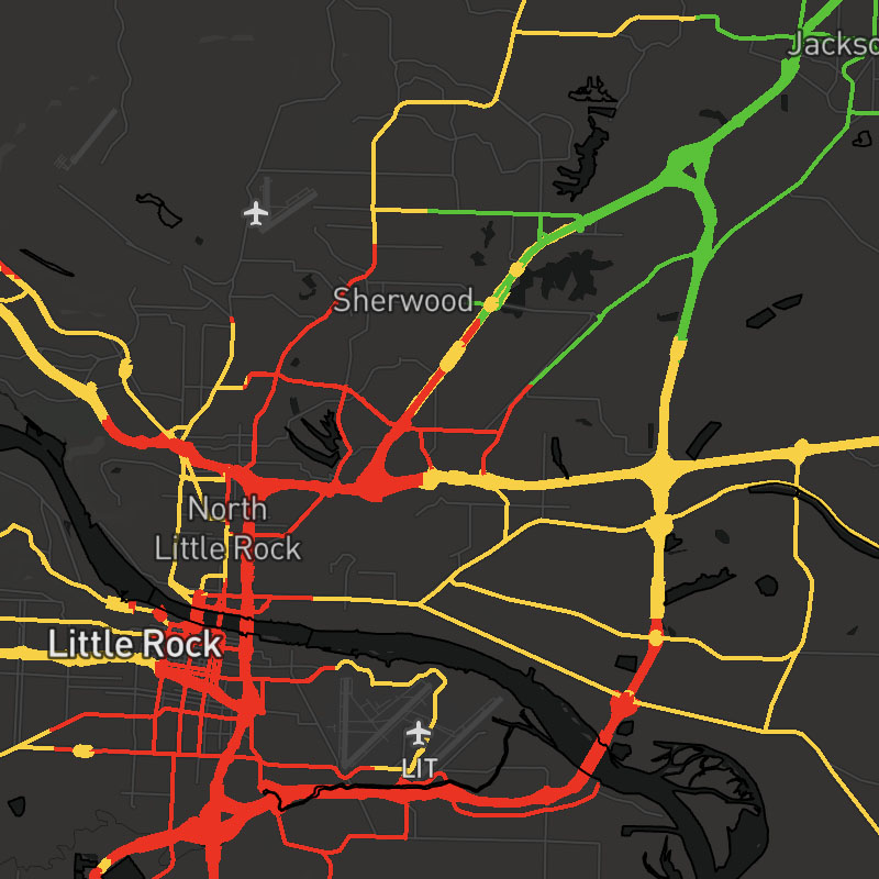
froad-weather-summary-us
Depicts a summary of road conditions based on severity, where green indicates dry roads with no issues, yellow indicates the potential for hazardous road conditions (wet, slick), and red indicates a high risk of adverse road conditions.
froad-weather-surface-australia
Depicts the condition of the road surface, such as dry, moist, wet slush, snow or ice.
SDK Support
Javascript
>= 1.5.3
Apple
-
Android
-
Regions
Australia
Type
Animates
No
Updates
6 hour
Range
+24 hours
froad-weather-surface-europe
Depicts the condition of the road surface, such as dry, moist, wet slush, snow or ice.
SDK Support
Javascript
>= 1.3.0
Apple
-
Android
-
Regions
Europe
Type
Animates
No
Updates
6 hour
Range
+24 hours

froad-weather-surface-japan
Depicts the condition of the road surface, such as dry, moist, wet slush, snow or ice.
SDK Support
Javascript
>= 1.4.0
Apple
-
Android
-
Regions
Japan
Type
Animates
No
Updates
6 hour
Range
+24 hours

froad-weather-surface-new-zealand
Depicts the condition of the road surface, such as dry, moist, wet slush, snow or ice.
SDK Support
Javascript
>= 1.5.3
Apple
-
Android
-
Regions
New Zealand
Type
Animates
No
Updates
6 hour
Range
+24 hours

froad-weather-surface-us
Depicts the condition of the road surface, such as dry, moist, wet slush, snow or ice.

froad-weather-temperature-australia
Extended forecast. Depicts the temperature of the road surface.
SDK Support
Javascript
>= 1.5.3
Apple
-
Android
-
Regions
Australia
Type
Animates
No
Updates
6 hours
Range
+24 hours
froad-weather-temperature-europe
Extended forecast. Depicts the temperature of the road surface.
SDK Support
Javascript
>= 1.4.3
Apple
-
Android
-
Regions
Europe
Type
Animates
No
Updates
6 hours
Range
+24 hours

froad-weather-temperature-freeze-australia
Extended forecast. Depicts areas where the road surface is near, at, or well-below freezing.
SDK Support
Javascript
>= 1.5.3
Apple
-
Android
-
Regions
Australia
Type
Animates
No
Updates
6 hours
Range
+24 hours
froad-weather-temperature-freeze-europe
Extended forecast. Depicts areas where the road surface is near, at, or well-below freezing.
SDK Support
Javascript
>= 1.4.3
Apple
-
Android
-
Regions
Europe
Type
Animates
No
Updates
6 hours
Range
+24 hours
froad-weather-temperature-freeze-japan
Extended forecast. Depicts areas where the road surface is near, at, or well-below freezing.
SDK Support
Javascript
>= 1.4.3
Apple
-
Android
-
Regions
Japan
Type
Animates
No
Updates
6 hours
Range
+24 hours

froad-weather-temperature-freeze-new-zealand
Extended forecast. Depicts areas where the road surface is near, at, or well-below freezing.
SDK Support
Javascript
>= 1.5.3
Apple
-
Android
-
Regions
New Zealand
Type
Animates
No
Updates
6 hours
Range
+24 hours

froad-weather-temperature-freeze-us
Extended forecast. Depicts areas where the road surface is near, at, or well-below freezing.

froad-weather-temperature-japan
Extended forecast. Depicts the temperature of the road surface.
SDK Support
Javascript
>= 1.4.3
Apple
-
Android
-
Regions
Japan
Type
Animates
No
Updates
6 hours
Range
+24 hours

froad-weather-temperature-new-zealand
Extended forecast. Depicts the temperature of the road surface.
SDK Support
Javascript
>= 1.5.3
Apple
-
Android
-
Regions
New Zealand
Type
Animates
No
Updates
6 hours
Range
+24 hours
froad-weather-temperature-us
Extended forecast. Depicts the temperature of the road surface.
hail-severe-probability
Maximum probability for severe hail (1"+ diameter) in hourly intervals.
SDK Support
Javascript
>= 1.7.0
Apple
>= 1.2.0
Android
>= 1.2.0
Regions
Global
Type
Animates
Yes
Updates
Range
-7 days
hail-severe-probability-max
Maximum probability for severe hail (1"+ diameter) for a selected time range. This layer uses the "max" data operation to calculate the maximum value across the map timeline's full time range.
hail-size
Maximum observed hail size in hourly intervals.
SDK Support
Javascript
>= 1.7.0
Apple
>= 1.2.0
Android
>= 1.2.0
Regions
Global
Type
Animates
Yes
Updates
Range
-7 days
hail-size-max
Maximum observed hail size for a selected time range. This layer uses the "max" data operation to calculate the maximum value across the map timeline's full time range.
hail-threats
Hail nowcast providing current and forecast hail threat areas.
Composite Layer
This layer is a composite layer that is a combination of the following layers:
hail-threats-polygons, hail-threats-tracks, hail-threats-pointsSDK Support
Javascript
>= 1.7.0
Apple
>= 1.2.0
Android
>= 1.2.0
Regions
US, Canada, Japan, Europe, Australia
Type
composite
Animates
Yes
Updates
2 minutes
Range
+1 hour
hail-threats-points
Hail nowcast points providing current and forecast hail threat areas.
SDK Support
Javascript
>= 1.7.0
Apple
>= 1.2.0
Android
>= 1.2.0
Regions
US, Europe, Japan, Australia, Canada
Type
Animates
Yes
Updates
2 minutes
Range
+1 hour
hail-threats-polygons
Hail nowcast polygons providing current and forecast hail threat areas.
SDK Support
Javascript
>= 1.7.0
Apple
>= 1.2.0
Android
>= 1.2.0
Regions
Europe, Japan, Australia, Canada, US
Type
Animates
Yes
Updates
2 minutes
Range
+1 hour
hail-threats-tracks
Hail nowcast tracks providing current and forecast hail threat areas.
SDK Support
Javascript
>= 1.7.0
Apple
>= 1.2.0
Android
>= 1.2.0
Regions
US, Europe, Japan, Australia, Canada
Type
Animates
Yes
Updates
2 minutes
Range
+1 hour
heat-index
Heat index, where temperatures are at or above 80F (26.67C)
SDK Support
Javascript
>= 1.0.0
Apple
>= 1.0.0
Android
>= 1.0.0
Regions
Global
Type
Animates
Yes
Updates
1 hour
Range
-7 to +15 days
heat-index-text
Heat index as text values for global locations.
SDK Support
Javascript
>= 1.5.0
Apple
-
Android
-
Regions
Global
Type
Animates
Yes
Updates
1 hour
Range
-7 to +15 days
humidity
Relative humidity percentage.
SDK Support
Javascript
>= 1.0.0
Apple
>= 1.0.0
Android
>= 1.0.0
Regions
Global
Type
Animates
Yes
Updates
1 hour
Range
-7 to +15 days
humidity-text
Relative humidity percentage as text values for global locations.
SDK Support
Javascript
>= 1.5.0
Apple
-
Android
-
Regions
Global
Type
Animates
Yes
Updates
1 hour
Range
-7 to +15 days
ice
Accumulated ice amounts per hour.
SDK Support
Javascript
>= 1.8.5
Apple
-
Android
-
Regions
Global
Type
Animates
Yes
Updates
1 hour
Range
-7 days to +15 days
ice-accum
Accumulated ice amounts for a selected time range. This layer uses the "sum" data operation to calculate the total ice across the map timeline's full time range.
SDK Support
Javascript
>= 1.8.5
Apple
-
Android
-
Regions
Global
Type
Animates
Yes
Updates
1 hour
Range
-7 days to +15 days
ice-accum-text
Accumulated ice amounts for a selected time range as text values for global locations. This layer uses the "sum" data operation to calculate the total ice across the map timeline's full time range.
SDK Support
Javascript
>= 1.8.5
Apple
-
Android
-
Regions
Global
Type
Animates
Yes
Updates
1 hour
Range
-7 days to +15 days
ice-text
1-hour ice amounts per hour as text values for global locations.
SDK Support
Javascript
>= 1.8.5
Apple
-
Android
-
Regions
Global
Type
Animates
Yes
Updates
1 hour
Range
-7 days to +15 days
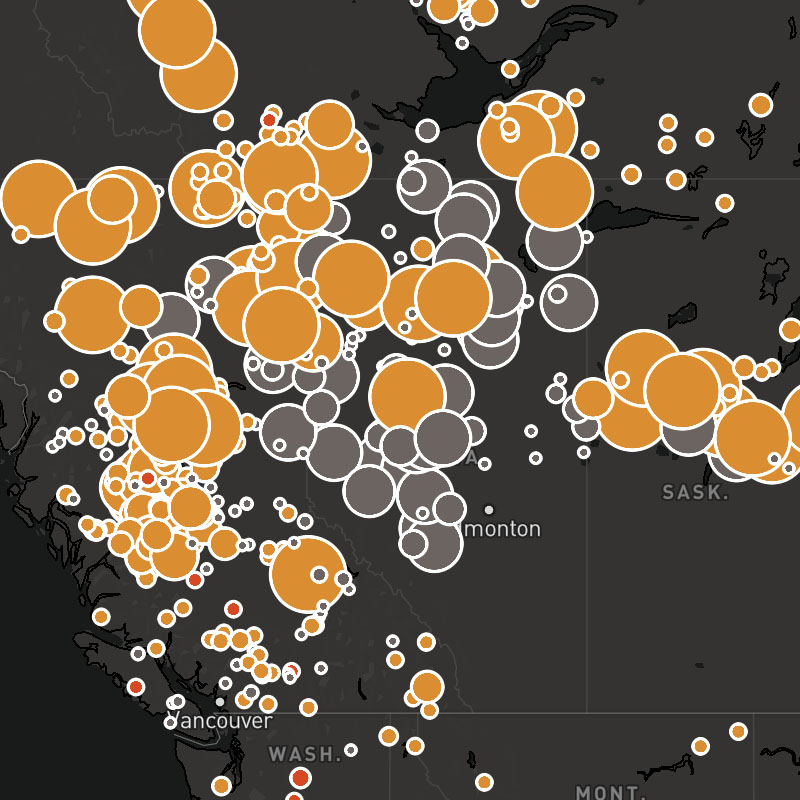
lightning-all
Aggregated cloud-to-ground and intracloud lightning flashes.
Composite Layer
This layer is a composite layer that is a combination of the following layers:
lightning-flash, lightning-strikesSDK Support
Javascript
>= 1.2.4
Apple
>= 1.2.0
Android
>= 1.2.0
Regions
Global
Type
composite
Animates
Yes
Updates
5 min
Range
-7 days
lightning-all-icons
Aggregated cloud-to-ground and intracloud lightning flashes (as icons).
Composite Layer
This layer is a composite layer that is a combination of the following layers:
lightning-flash, lightning-strikes-iconsSDK Support
Javascript
>= 1.6.0
Apple
>= 1.2.0
Android
>= 1.2.0
Regions
Global
Type
composite
Animates
Yes
Updates
5 min
Range
-7 days

lightning-density
Number of lightning strikes (cloud-to-ground and intracloud) per hour.
SDK Support
Javascript
>= 1.7.0
Apple
>= 1.2.0
Android
>= 1.2.0
Regions
Global
Type
Animates
No
Updates
Range

lightning-density-accum
Accumulated number of lightning strikes (cloud-to-ground and intracloud) for a selected time range. This layer uses the "sum" data operation to calculate the total density across the map timeline's full time range.
lightning-density-cloud-to-ground
Number of cloud-to-ground lightning strikes per hour.
SDK Support
Javascript
>= 1.7.0
Apple
>= 1.2.0
Android
>= 1.2.0
Regions
Global
Type
Animates
No
Updates
Range

lightning-density-cloud-to-ground-accum
Accumulated number of cloud-to-ground lightning strikes for a selected time range. This layer uses the "sum" data operation to calculate the total density across the map timeline's full time range.

lightning-density-intracloud
Number of intracloud lightning strikes per hour within a given region.
SDK Support
Javascript
>= 1.7.0
Apple
>= 1.2.0
Android
>= 1.2.0
Regions
Global
Type
Animates
No
Updates
Range
lightning-density-intracloud-accum
Accumulated number of intracloud lightning strikes for a selected time range. This layer uses the "sum" data operation to calculate the total density across the map timeline's full time range.
lightning-flash
Consolidated cloud-to-ground and cloud-to-cloud lightning strikes. Multiple lightning strikes within a 10km area and cloud-to-cloud pulses within a 20km area, within split seconds of each other, may be combined as an individual lightning flash.
SDK Support
Javascript
>= 1.2.4
Apple
>= 1.2.0
Android
>= 1.2.0
Regions
Global
Type
Animates
Yes
Updates
5 min
Range
-7 days
lightning-strikes
Cloud-to-ground lightning strikes.
SDK Support
Javascript
>= 1.0.0
Apple
>= 1.2.0
Android
>= 1.2.0
Regions
Global
Type
Animates
Yes
Updates
5 min
Range
-7 days
lightning-strikes-icons
Cloud-to-ground lightning strikes as icons.
SDK Support
Javascript
>= 1.6.0
Apple
>= 1.2.0
Android
>= 1.2.0
Regions
Global
Type
Animates
Yes
Updates
5 min
Range
-7 days
lightning-strikes-pulse
Cloud-to-ground lightning strikes as pulsing effects.
lightning-threats
Lightning nowcasts providing global thunderstorm activity potential.
Composite Layer
This layer is a composite layer that is a combination of the following layers:
lightning-threats-polygons, lightning-threats-tracks, lightning-threats-pointsSDK Support
Javascript
>= 1.7.0
Apple
>= 1.2.0
Android
>= 1.2.0
Regions
Global
Type
composite
Animates
Yes
Updates
2 minutes
Range
+1 hour
lightning-threats-points
Forecast points for thunderstorm activity potential.
SDK Support
Javascript
>= 1.7.0
Apple
>= 1.2.0
Android
>= 1.2.0
Regions
Global
Type
Animates
Yes
Updates
2 minutes
Range
+1 hour
lightning-threats-polygons
Forecast polygons for thunderstorm activity potential.
SDK Support
Javascript
>= 1.7.0
Apple
>= 1.2.0
Android
>= 1.2.0
Regions
Global
Type
Animates
Yes
Updates
2 minutes
Range
+1 hour
lightning-threats-tracks
Forecast tracks for thunderstorm activity potential.
SDK Support
Javascript
>= 1.7.0
Apple
>= 1.2.0
Android
>= 1.2.0
Regions
Global
Type
Animates
Yes
Updates
2 minutes
Range
+1 hour
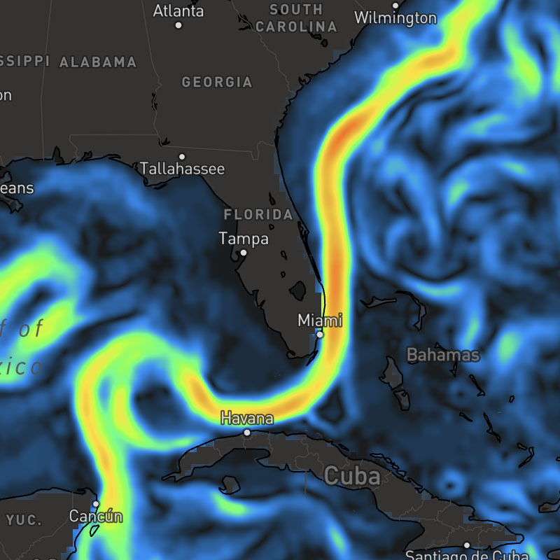
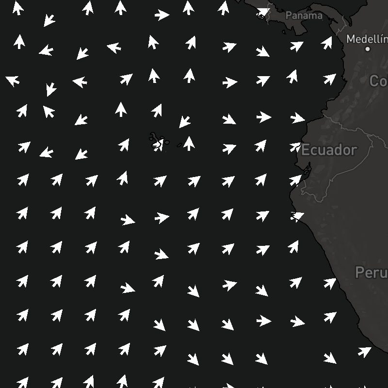
ocean-currents
Ocean current speeds.
SDK Support
Javascript
>= 1.2.4
Apple
>= 1.0.0
Android
>= 1.0.0
Regions
Global
Type
Animates
Yes
Updates
6 hour
Range
-15 to +7 days
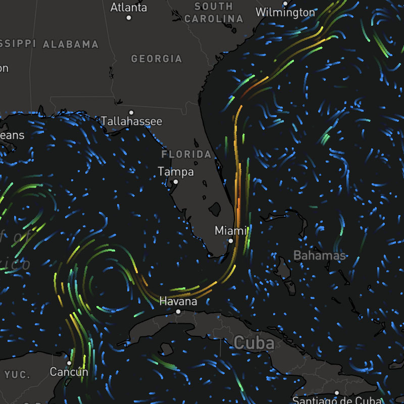
ocean-currents-particles
Ocean current speeds and direction depicted by particles moving in a vector flow field.
SDK Support
Javascript
>= 1.2.4
Apple
>= 1.0.0
Android
>= 1.0.0
Regions
Global
Type
Animates
Yes
Updates
6 hour
Range
-15 to +7 days
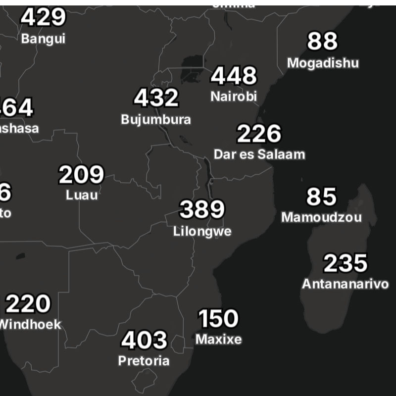
place-city
City and town name labels.
SDK Support
Javascript
>= 1.5.0
Apple
>= 1.2.0
Android
>= 1.2.0
Regions
Global
Type
Animates
No
Updates
-
Range
-
place-country
Country name labels.
SDK Support
Javascript
>= 1.5.0
Apple
>= 1.2.0
Android
>= 1.2.0
Regions
Global
Type
Animates
No
Updates
-
Range
-
place-neighborhood
Neighborhood, village, and suburb name labels.
SDK Support
Javascript
>= 1.5.0
Apple
>= 1.2.0
Android
>= 1.2.0
Regions
Global
Type
Animates
No
Updates
-
Range
-
places
Combination of administrative place name labels.
Composite Layer
This layer is a composite layer that is a combination of the following layers:
place-country, place-state, place-city, place-neighborhoodSDK Support
Javascript
>= 1.5.0
Apple
>= 1.2.0
Android
>= 1.2.0
Regions
Global
Type
composite
Animates
No
Updates
-
Range
-
place-state
State and province name labels.
SDK Support
Javascript
>= 1.5.0
Apple
>= 1.2.0
Android
>= 1.2.0
Regions
Global
Type
Animates
No
Updates
-
Range
-
power-generators
Individual oil, solar, and wind power generators, such as wind turbines and solar grids.
power-lines
Major electric power transmission lines.
power-plants
Electric power plant structures.
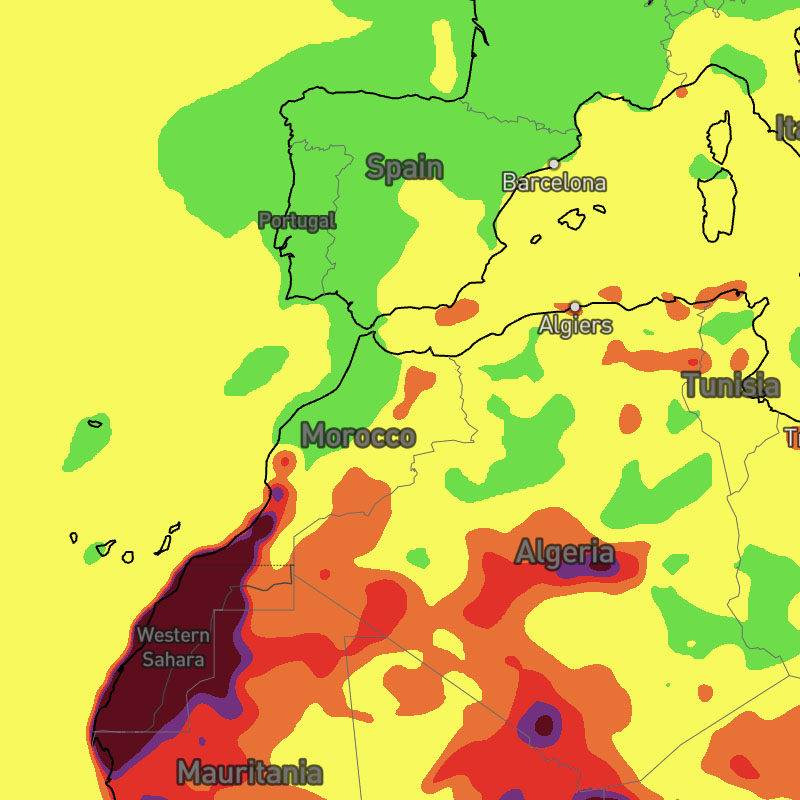
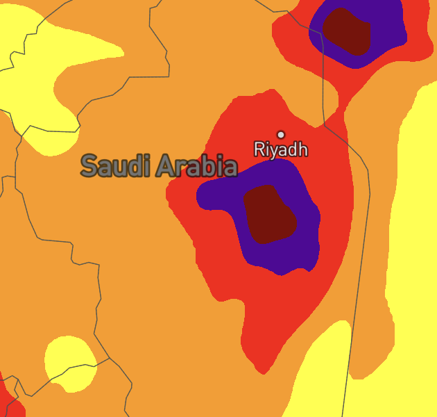
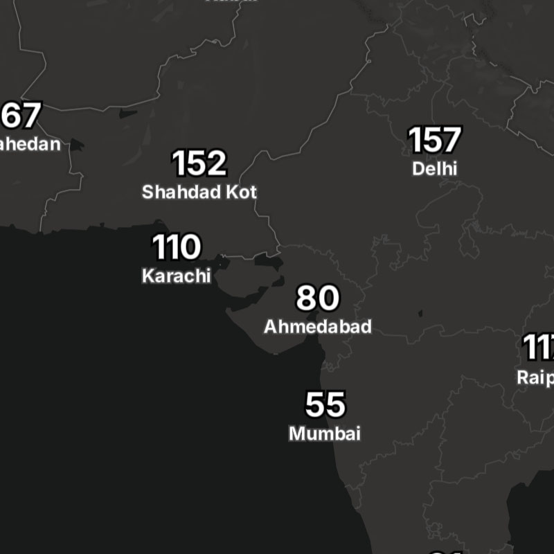
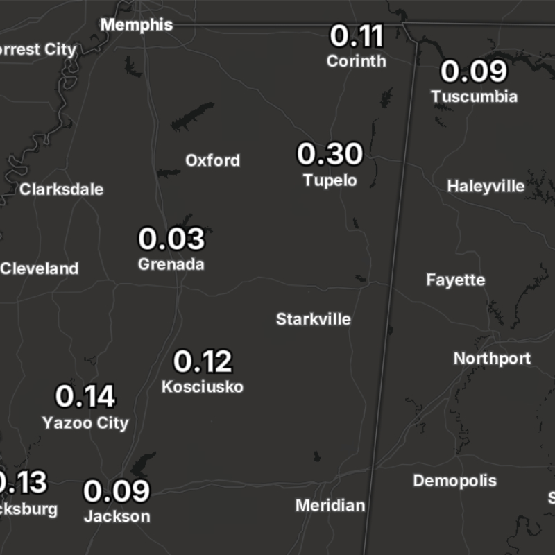
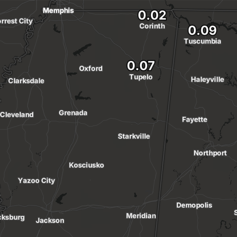
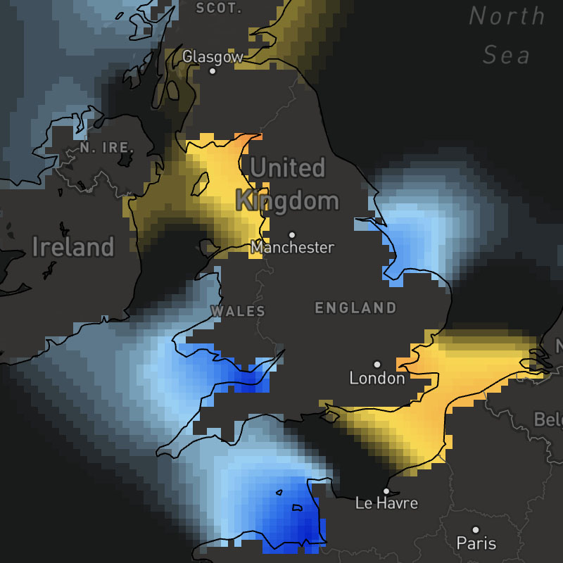
precip
Accumulated precipitation amounts per hour.
SDK Support
Javascript
>= 1.0.0
Apple
>= 1.0.0
Android
>= 1.0.0
Regions
Global
Type
Animates
Yes
Updates
1 hour
Range
-7 days to +15 days
precip-accum
Accumulated precipitation amounts for a selected time range. This layer uses the "sum" data operation to calculate the total precipitation across the map timeline's full time range.
SDK Support
Javascript
>= 1.6.0
Apple
-
Android
-
Regions
Global
Type
Animates
Yes
Updates
1 hour
Range
-7 days to +15 days
precip-accum-text
Accumulated precipitation amounts for a selected time range as text values for global locations. This layer uses the "sum" data operation to calculate the total precipitation across the map timeline's full time range.
SDK Support
Javascript
>= 1.6.0
Apple
-
Android
-
Regions
Global
Type
Animates
Yes
Updates
1 hour
Range
-7 days to +15 days
precip-text
1-hour precipitation amounts per hour as text values for global locations.
SDK Support
Javascript
>= 1.5.0
Apple
-
Android
-
Regions
Global
Type
Animates
Yes
Updates
1 hour
Range
-7 to +15 days
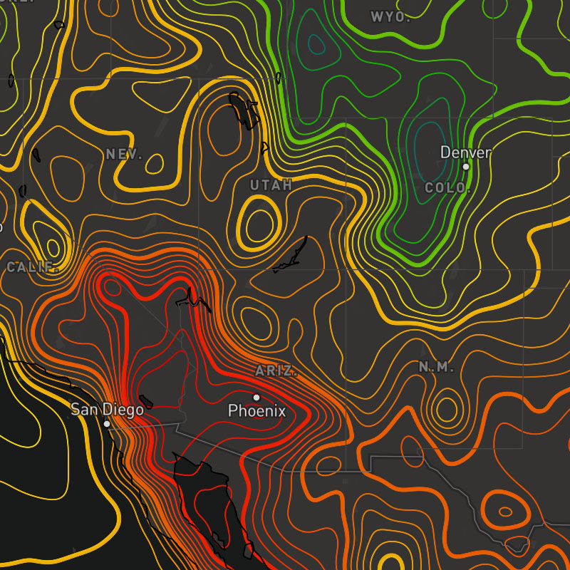
pressure-msl
Mean sea level pressure (MSLP).
SDK Support
Javascript
>= 1.0.0
Apple
>= 1.0.0
Android
>= 1.0.0
Regions
Global
Type
Animates
Yes
Updates
1 hour
Range
-7 to +15 days
pressure-msl-contour
Mean sea level pressure (MSLP).
SDK Support
Javascript
>= 1.0.0
Apple
>= 1.5.0
Android
>= 1.5.0
Regions
Global
Type
Animates
Yes
Updates
1 hour
Range
-7 to +15 days
pressure-msl-text
Mean sea level pressure (MSLP) as text values for global locations.
SDK Support
Javascript
>= 1.5.0
Apple
-
Android
-
Regions
Global
Type
Animates
Yes
Updates
1 hour
Range
-7 to +15 days
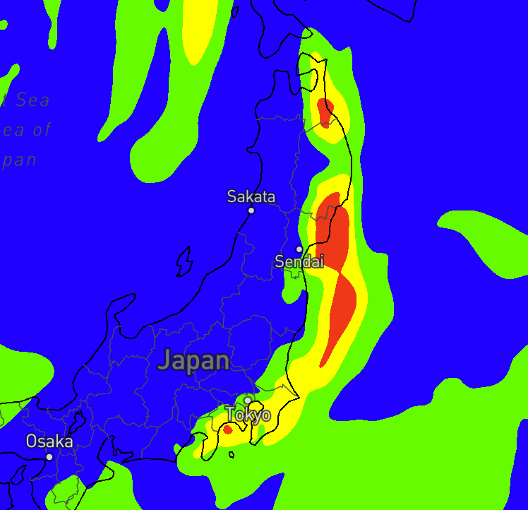
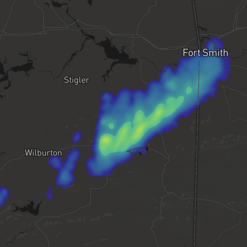
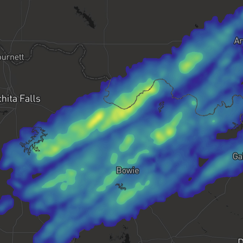
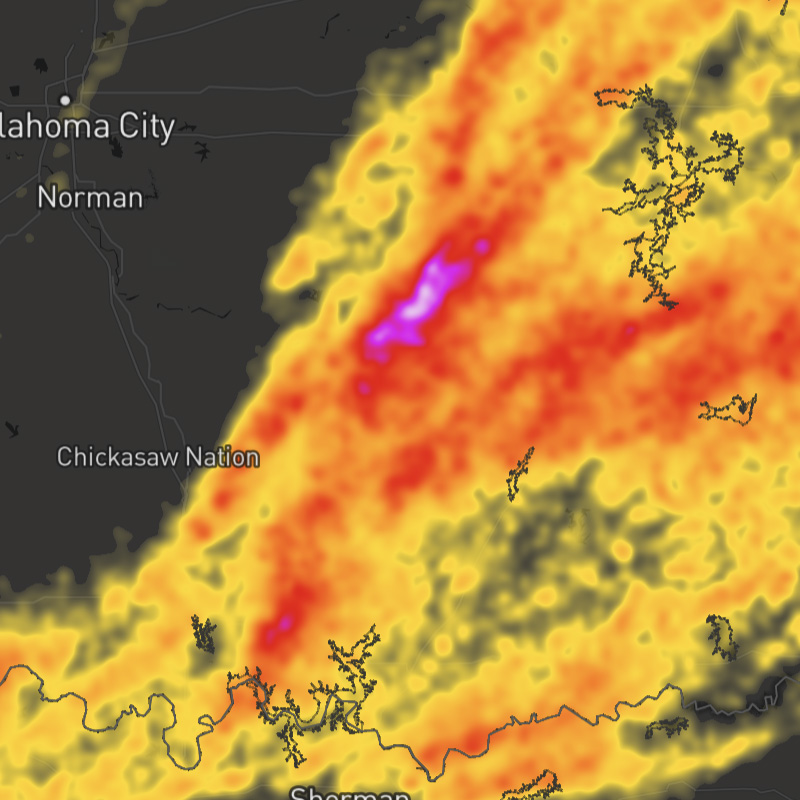
radar
Depicts areas of precipitation, including intensity and precipitation type (rain, mix, snow).
SDK Support
Javascript
>= 1.0.0
Apple
>= 1.0.0
Android
>= 1.0.0
Regions
Global
Type
Animates
Yes
Updates
5 min
Range
-7 days to +15 days
river-observations
River and lake observations about water level and flood stages.
SDK Support
Javascript
>= 1.0.0
Apple
>= 1.2.0
Android
>= 1.2.0
Regions
US
Type
Animates
No
Updates
1 hour
Range
-7 days
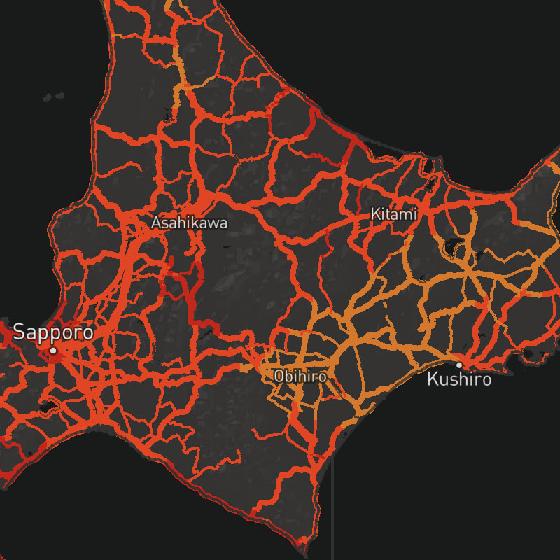
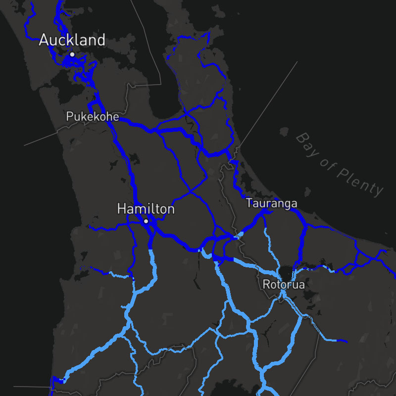
road-motorway
Restricted access major divided highways, normally with 2 or more running lanes (e.g. freeway, autobahn, etc).
SDK Support
Javascript
>= 1.5.0
Apple
>= 1.2.0
Android
>= 1.2.0
Regions
Global
Type
Animates
No
Updates
-
Range
-
road-primary
Most important roads in a country's system after motorways and trunks that often link cities and larger towns.
SDK Support
Javascript
>= 1.5.0
Apple
>= 1.2.0
Android
>= 1.2.0
Regions
Global
Type
Animates
No
Updates
-
Range
-
roads
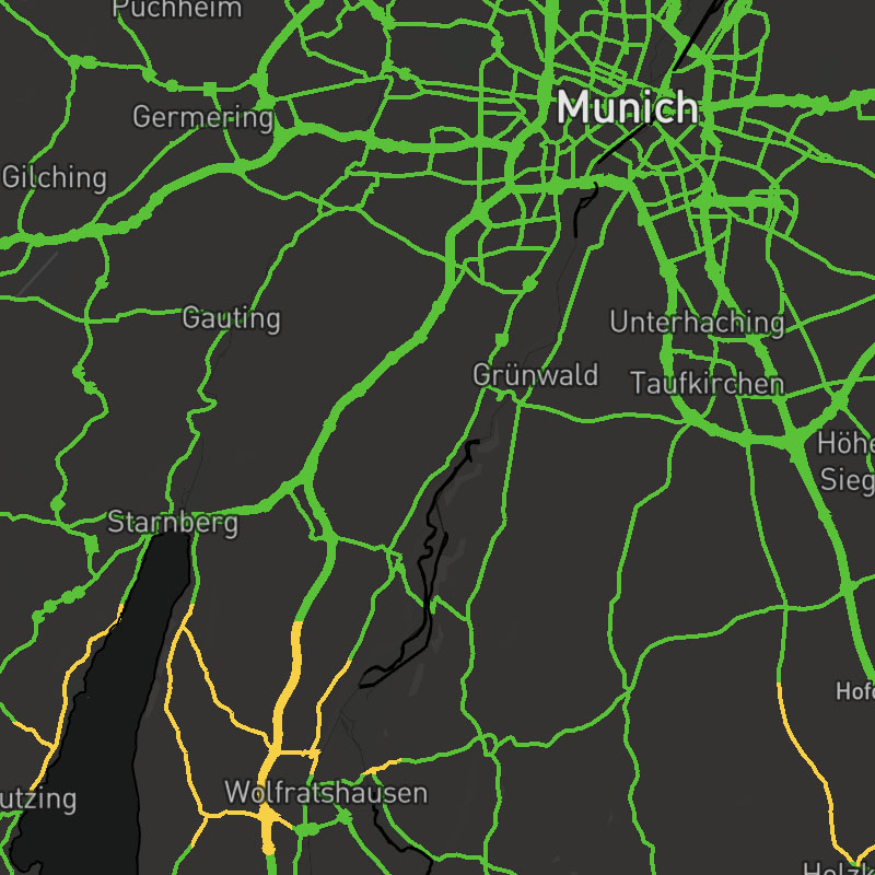
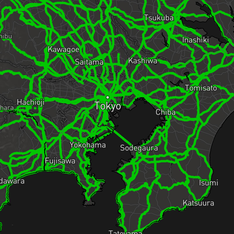
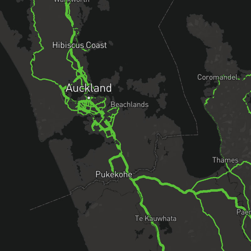
Combination of various road layers.
Composite Layer
This layer is a composite layer that is a combination of the following layers:
road-motorway, road-trunk, road-primary, road-secondary-tertiary, road-streetSDK Support
Javascript
>= 1.5.0
Apple
>= 1.2.0
Android
>= 1.2.0
Regions
Global
Type
composite
Animates
No
Updates
-
Range
-
road-secondary-tertiary
Lower-capacity highways and roads that often link towns and villages.
SDK Support
Javascript
>= 1.5.0
Apple
>= 1.2.0
Android
>= 1.2.0
Regions
Global
Type
Animates
No
Updates
-
Range
-
road-street
City and residential streets.
SDK Support
Javascript
>= 1.5.0
Apple
>= 1.2.0
Android
>= 1.2.0
Regions
Global
Type
Animates
No
Updates
-
Range
-

road-trunk
Most important roads in a country's system that aren't motorways.
SDK Support
Javascript
>= 1.5.0
Apple
>= 1.2.0
Android
>= 1.2.0
Regions
Global
Type
Animates
No
Updates
-
Range
-

road-weather-risk-hydroplane-australia
Nowcast and short-term forecast. Depicts the risk of a hydroplaning due to weather and road conditions.
SDK Support
Javascript
>= 1.5.3
Apple
-
Android
-
Regions
Australia
Type
Animates
No
Updates
15 min
Range
+2 hours
road-weather-risk-hydroplane-europe
Nowcast and short-term forecast. Depicts the risk of a hydroplaning due to weather and road conditions.
SDK Support
Javascript
>= 1.4.3
Apple
-
Android
-
Regions
Europe
Type
Animates
No
Updates
15 min
Range
+2 hours
road-weather-risk-hydroplane-japan
Nowcast and short-term forecast. Depicts the risk of a hydroplaning due to weather and road conditions.
road-weather-risk-hydroplane-new-zealand
Nowcast and short-term forecast. Depicts the risk of a hydroplaning due to weather and road conditions.
SDK Support
Javascript
>= 1.5.3
Apple
-
Android
-
Regions
New Zealand
Type
Animates
No
Updates
15 min
Range
+2 hours
road-weather-risk-hydroplane-us
Nowcast and short-term forecast. Depicts the risk of a hydroplaning due to weather and road conditions.

road-weather-risk-low-viz-fog-australia
Nowcast and short-term forecast. Depicts the risk of experiencing reduced visibility due to fog.

road-weather-risk-low-viz-fog-europe
Nowcast and short-term forecast. Depicts the risk of experiencing reduced visibility due to fog.

road-weather-risk-low-viz-fog-japan
Nowcast and short-term forecast. Depicts the risk of experiencing reduced visibility due to fog.

road-weather-risk-low-viz-fog-new-zealand
Nowcast and short-term forecast. Depicts the risk of experiencing reduced visibility due to fog.
road-weather-risk-low-viz-fog-us
Nowcast and short-term forecast. Depicts the risk of experiencing reduced visibility due to fog.

road-weather-risk-low-viz-snow-australia
Nowcast and short-term forecast. Depicts the risk of experiencing reduced visibility due to snow.
road-weather-risk-low-viz-snow-europe
Nowcast and short-term forecast. Depicts the risk of experiencing reduced visibility due to snow.

road-weather-risk-low-viz-snow-japan
Nowcast and short-term forecast. Depicts the risk of experiencing reduced visibility due to snow.

road-weather-risk-low-viz-snow-new-zealand
Nowcast and short-term forecast. Depicts the risk of experiencing reduced visibility due to snow.
road-weather-risk-low-viz-snow-us
Nowcast and short-term forecast. Depicts the risk of experiencing reduced visibility due to snow.

road-weather-risk-rollover-australia
Nowcast and short-term forecast. Depicts the risk of a rollover due to weather and road conditions.
SDK Support
Javascript
>= 1.5.3
Apple
-
Android
-
Regions
Australia
Type
Animates
No
Updates
15 min
Range
+2 hours

road-weather-risk-rollover-europe
Nowcast and short-term forecast. Depicts the risk of a rollover due to weather and road conditions.
SDK Support
Javascript
>= 1.4.3
Apple
-
Android
-
Regions
Europe
Type
Animates
No
Updates
15 min
Range
+2 hours
road-weather-risk-rollover-japan
Nowcast and short-term forecast. Depicts the risk of a rollover due to weather and road conditions.

road-weather-risk-rollover-new-zealand
Nowcast and short-term forecast. Depicts the risk of a rollover due to weather and road conditions.
SDK Support
Javascript
>= 1.5.3
Apple
-
Android
-
Regions
New Zealand
Type
Animates
No
Updates
15 min
Range
+2 hours
road-weather-risk-rollover-us
Nowcast and short-term forecast. Depicts the risk of a rollover due to weather and road conditions.
road-weather-summary-australia
Depicts a summary of road conditions based on severity, where green indicates dry roads with no issues, yellow indicates the potential for hazardous road conditions (wet, slick), and red indicates a high risk of adverse road conditions.
SDK Support
Javascript
>= 1.5.3
Apple
-
Android
-
Regions
Australia
Type
Animates
No
Updates
15 min
Range
+2 hours

road-weather-summary-europe
Depicts a summary of road conditions based on severity, where green indicates dry roads with no issues, yellow indicates the potential for hazardous road conditions (wet, slick), and red indicates a high risk of adverse road conditions.
SDK Support
Javascript
>= 1.3.0
Apple
-
Android
-
Regions
Europe
Type
Animates
No
Updates
15 min
Range
+2 hours
road-weather-summary-japan
Depicts a summary of road conditions based on severity, where green indicates dry roads with no issues, yellow indicates the potential for hazardous road conditions (wet, slick), and red indicates a high risk of adverse road conditions.

road-weather-summary-new-zealand
Depicts a summary of road conditions based on severity, where green indicates dry roads with no issues, yellow indicates the potential for hazardous road conditions (wet, slick), and red indicates a high risk of adverse road conditions.
SDK Support
Javascript
>= 1.5.3
Apple
-
Android
-
Regions
New Zealand
Type
Animates
No
Updates
15 min
Range
+2 hours

road-weather-summary-us
Depicts a summary of road conditions based on severity, where green indicates dry roads with no issues, yellow indicates the potential for hazardous road conditions (wet, slick), and red indicates a high risk of adverse road conditions.

road-weather-surface-australia
Depicts the condition of the road surface, such as dry, moist, wet slush, snow or ice.
SDK Support
Javascript
>= 1.5.3
Apple
-
Android
-
Regions
Australia
Type
Animates
No
Updates
15 min
Range
+2 hours

road-weather-surface-europe
Depicts the condition of the road surface, such as dry, moist, wet slush, snow or ice.
SDK Support
Javascript
>= 1.3.0
Apple
-
Android
-
Regions
Europe
Type
Animates
No
Updates
15 min
Range
+2 hours
road-weather-surface-japan
Depicts the condition of the road surface, such as dry, moist, wet slush, snow or ice.
road-weather-surface-new-zealand
Depicts the condition of the road surface, such as dry, moist, wet slush, snow or ice.
SDK Support
Javascript
>= 1.5.3
Apple
-
Android
-
Regions
New Zealand
Type
Animates
No
Updates
15 min
Range
+2 hours
road-weather-surface-us
Depicts the condition of the road surface, such as dry, moist, wet slush, snow or ice.
road-weather-temperature-australia
Nowcast and short-term forecast. Depicts the temperature of the road surface.
SDK Support
Javascript
>= 1.5.3
Apple
-
Android
-
Regions
Australia
Type
Animates
No
Updates
15 min
Range
+2 hours

road-weather-temperature-europe
Nowcast and short-term forecast. Depicts the temperature of the road surface.
SDK Support
Javascript
>= 1.4.3
Apple
-
Android
-
Regions
Europe
Type
Animates
No
Updates
15 min
Range
+2 hours
road-weather-temperature-freeze-australia
Nowcast and short-term forecast. Depicts areas where the road surface is near, at, or well-below freezing.
SDK Support
Javascript
>= 1.5.3
Apple
-
Android
-
Regions
Australia
Type
Animates
No
Updates
15 min
Range
+2 hours

road-weather-temperature-freeze-europe
Nowcast and short-term forecast. Depicts areas where the road surface is near, at, or well-below freezing.
SDK Support
Javascript
>= 1.4.3
Apple
-
Android
-
Regions
Europe
Type
Animates
No
Updates
15 min
Range
+2 hours

road-weather-temperature-freeze-japan
Nowcast and short-term forecast. Depicts areas where the road surface is near, at, or well-below freezing.
road-weather-temperature-freeze-new-zealand
Nowcast and short-term forecast. Depicts areas where the road surface is near, at, or well-below freezing.
SDK Support
Javascript
>= 1.5.3
Apple
-
Android
-
Regions
New Zealand
Type
Animates
No
Updates
15 min
Range
+2 hours

road-weather-temperature-freeze-us
Nowcast and short-term forecast. Depicts areas where the road surface is near, at, or well-below freezing.
road-weather-temperature-japan
Nowcast and short-term forecast. Depicts the temperature of the road surface.
road-weather-temperature-new-zealand
Nowcast and short-term forecast. Depicts the temperature of the road surface.
SDK Support
Javascript
>= 1.5.3
Apple
-
Android
-
Regions
New Zealand
Type
Animates
No
Updates
15 min
Range
+2 hours

road-weather-temperature-us
Nowcast and short-term forecast. Depicts the temperature of the road surface.
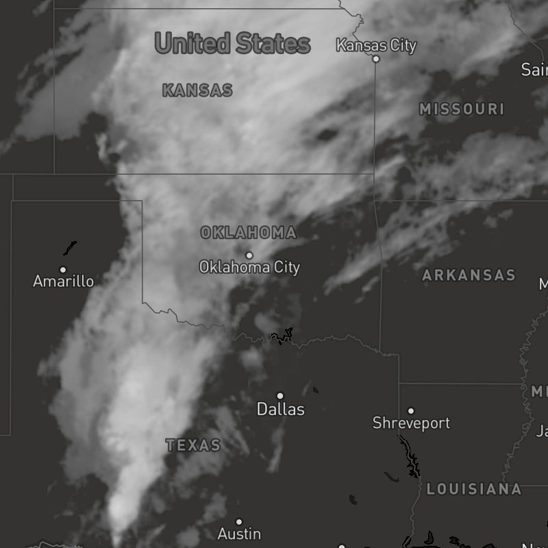
satellite
Black and white infrared satellite imagery.
SDK Support
Javascript
>= 1.4.0
Apple
>= 1.0.0
Android
>= 1.0.0
Regions
Global
Type
Animates
Yes
Updates
US: 15 min, Global: 3 hour
Range
-7 days
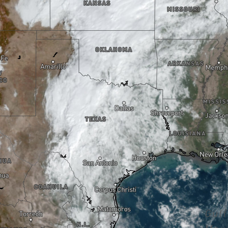
satellite-geocolor
Geocolor satellite imagery.
SDK Support
Javascript
>= 1.4.0
Apple
>= 1.0.0
Android
>= 1.0.0
Regions
Global
Type
Animates
Yes
Updates
US, Japan, Australia: 10 min, Europe: 15 min
Range
-7 days
satellite-infrared-color
Color infrared satellite imagery based on cloud top temperature.
SDK Support
Javascript
>= 1.4.0
Apple
>= 1.0.0
Android
>= 1.0.0
Regions
Global
Type
Animates
Yes
Updates
US: 15 min, Global: 2 hour
Range
-7 days
satellite-visible
Visible satellite imagery.
SDK Support
Javascript
>= 1.4.0
Apple
>= 1.0.0
Android
>= 1.0.0
Regions
Global
Type
Animates
Yes
Updates
15 min
Range
-7 days
satellite-water-vapor
Satellite imagery depicting the amount of water vapor in the atmosphere.
SDK Support
Javascript
>= 1.4.0
Apple
>= 1.0.0
Android
>= 1.0.0
Regions
Global
Type
Animates
Yes
Updates
15 min
Range
-7 days
sleet
Accumulated sleet amounts per hour.
SDK Support
Javascript
>= 1.8.5
Apple
-
Android
-
Regions
Global
Type
Animates
Yes
Updates
1 hour
Range
-7 days to +15 days
sleet-accum
Accumulated sleet amounts for a selected time range. This layer uses the "sum" data operation to calculate the total sleet across the map timeline's full time range.
SDK Support
Javascript
>= 1.8.5
Apple
-
Android
-
Regions
Global
Type
Animates
Yes
Updates
1 hour
Range
-7 days to +15 days
sleet-accum-text
Accumulated sleet amounts for a selected time range as text values for global locations. This layer uses the "sum" data operation to calculate the total sleet across the map timeline's full time range.
SDK Support
Javascript
>= 1.8.5
Apple
-
Android
-
Regions
Global
Type
Animates
Yes
Updates
1 hour
Range
-7 days to +15 days
sleet-text
1-hour sleet amounts per hour as text values for global locations.
SDK Support
Javascript
>= 1.8.5
Apple
-
Android
-
Regions
Global
Type
Animates
Yes
Updates
1 hour
Range
-7 days to +15 days
snow
Accumulated snowfall amounts per hour.
SDK Support
Javascript
>= 1.6.0
Apple
-
Android
-
Regions
Global
Type
Animates
Yes
Updates
1 hour
Range
-7 days to +15 days
snow-accum
Accumulated snowfall amounts for a selected time range. This layer uses the "sum" data operation to calculate the total snowfall across the map timeline's full time range.
SDK Support
Javascript
>= 1.6.0
Apple
-
Android
-
Regions
Global
Type
Animates
Yes
Updates
1 hour
Range
-7 days to +15 days
snow-accum-text
Accumulated snowfall amounts for a selected time range as text values for global locations. This layer uses the "sum" data operation to calculate the total snowfall across the map timeline's full time range.
SDK Support
Javascript
>= 1.6.0
Apple
-
Android
-
Regions
Global
Type
Animates
Yes
Updates
1 hour
Range
-7 days to +15 days
snow-depth
Snow depth on the ground.
SDK Support
Javascript
>= 1.0.0
Apple
>= 1.0.0
Android
>= 1.0.0
Regions
Global
Type
Animates
Yes
Updates
1 hour
Range
-7 to +15 days
snow-text
1-hour snowfall amounts per hour as text values for global locations.
SDK Support
Javascript
>= 1.6.0
Apple
-
Android
-
Regions
Global
Type
Animates
Yes
Updates
1 hour
Range
-7 days to +15 days
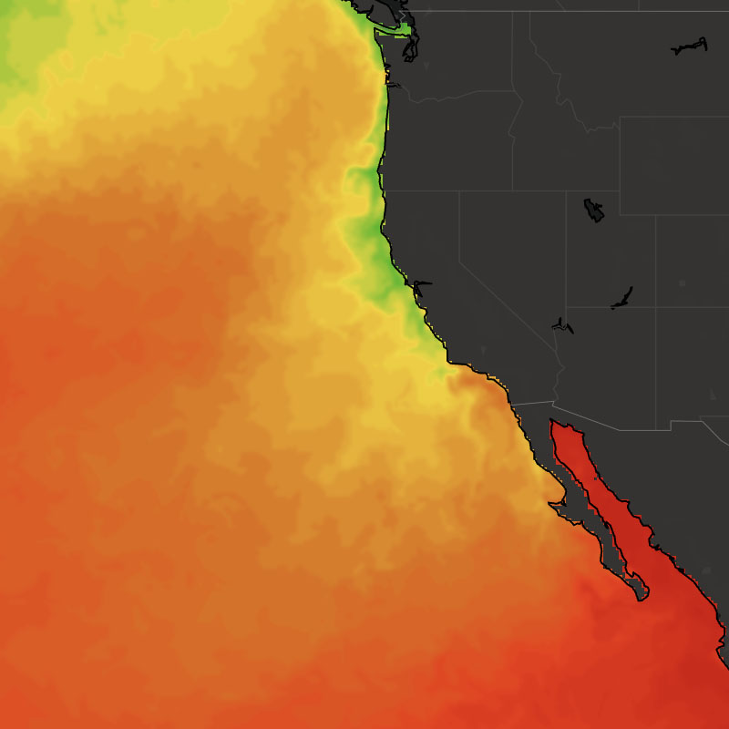
sst
Ocean temperature close to the surface.
SDK Support
Javascript
>= 1.2.4
Apple
>= 1.0.0
Android
>= 1.0.0
Regions
Global
Type
Animates
Yes
Updates
6 hour
Range
-15 to +7 days
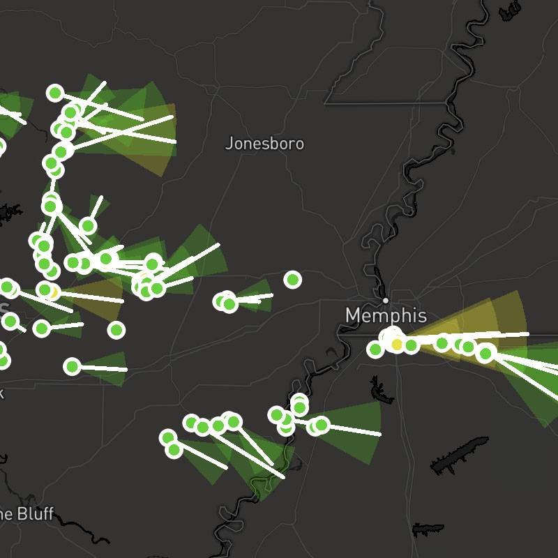
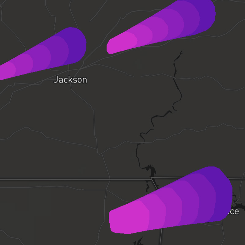
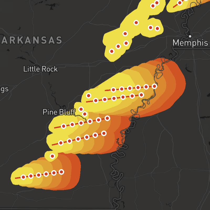
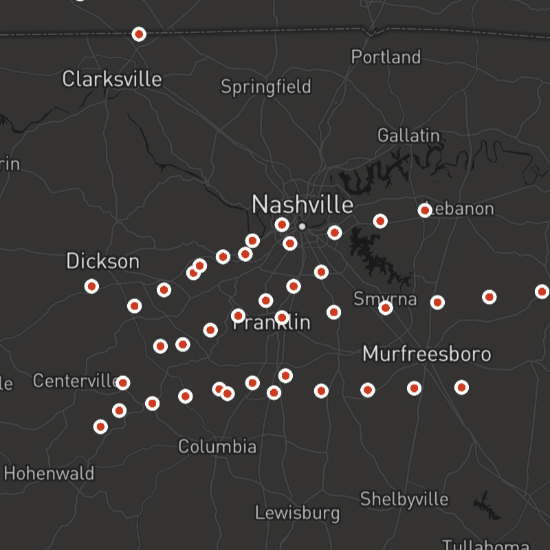
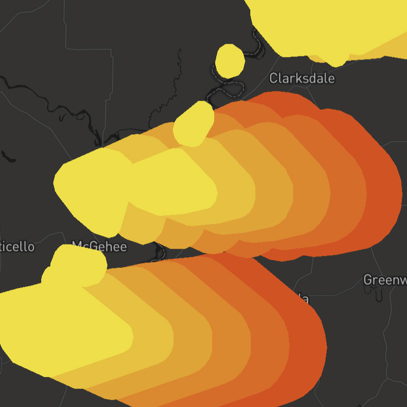
stormcells
Radar-derived data that attempts to identify and track storm cell movement, along with reporting cell intensity and certain severe weather signatures within the cell, like rotation and hail.
Composite Layer
This layer is a composite layer that is a combination of the following layers:
stormcells-positions, stormcells-tracks, stormcells-conesSDK Support
Javascript
>= 1.0.0
Apple
>= 1.2.0
Android
>= 1.2.0
Regions
US
Type
composite
Animates
Yes
Updates
3 min
Range
-7 days
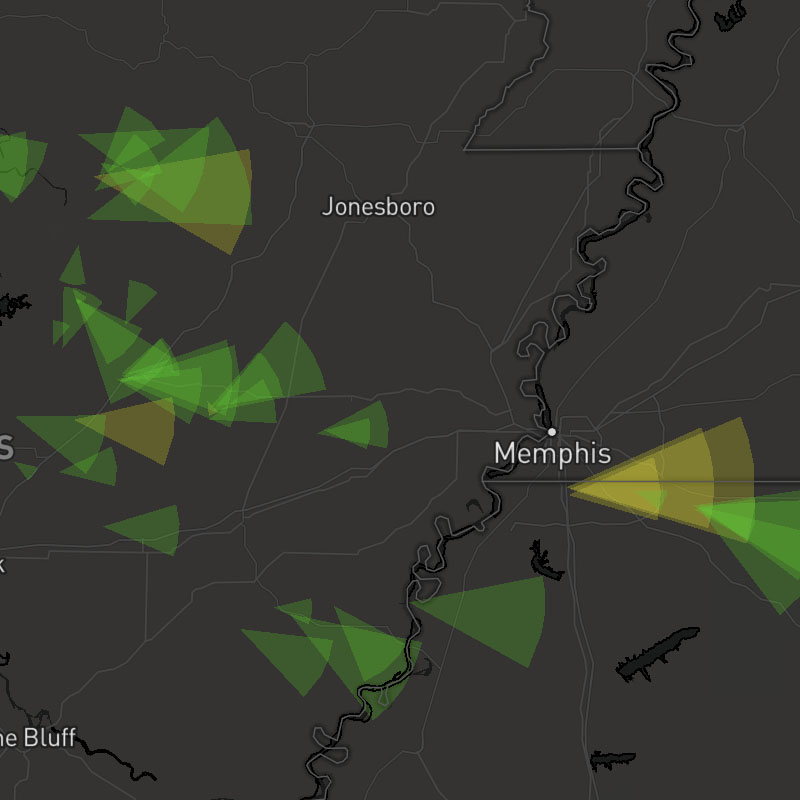
stormcells-cones
Forecast cone component of observed storm cells.
SDK Support
Javascript
>= 1.0.0
Apple
>= 1.2.0
Android
>= 1.2.0
Regions
US
Type
Animates
Yes
Updates
3 min
Range
-7 days
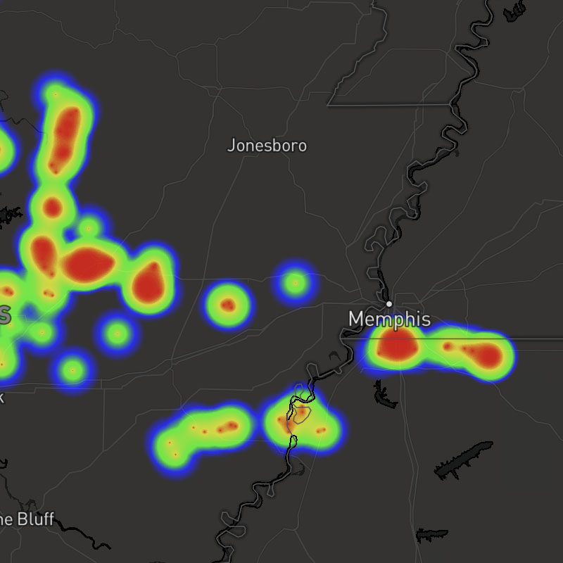
stormcells-heat
Radar-derived data that attempts to identify and track storm cell movement, along with reporting cell intensity and certain severe weather signatures within the cell, like rotation and hail.
SDK Support
Javascript
>= 1.0.0
Apple
>= 1.2.0
Android
>= 1.2.0
Regions
US
Type
Animates
Yes
Updates
3 min
Range
-7 days
stormcells-positions
Position component of observed storm cells.
SDK Support
Javascript
>= 1.0.0
Apple
>= 1.2.0
Android
>= 1.2.0
Regions
US
Type
Animates
Yes
Updates
3 min
Range
-7 days
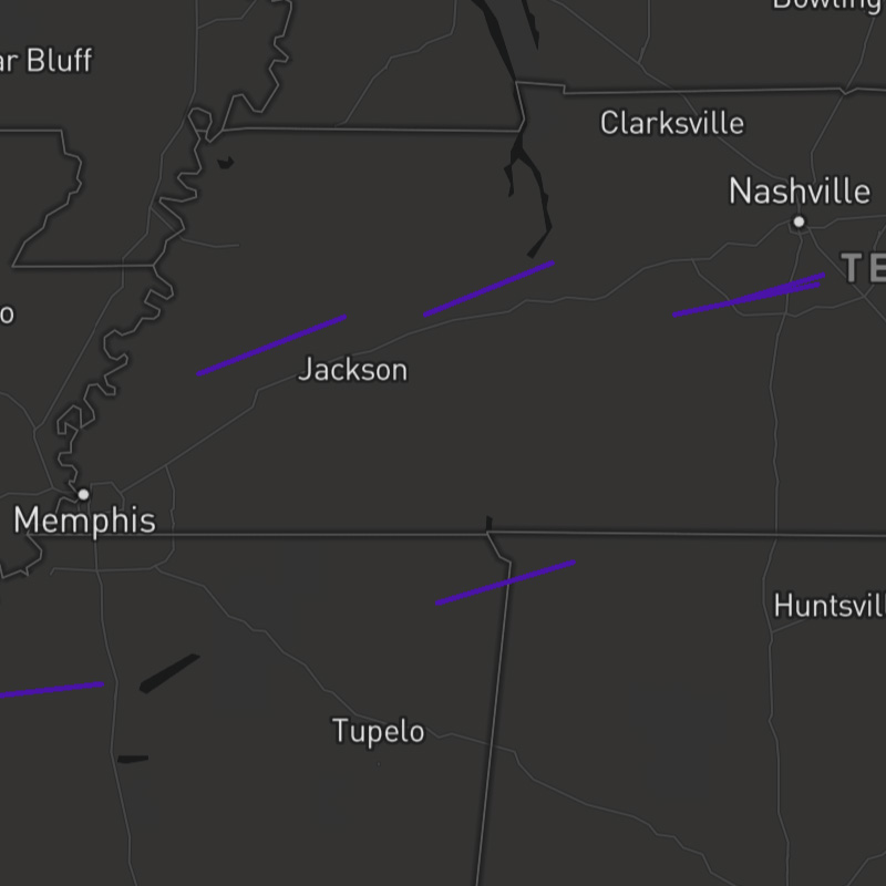
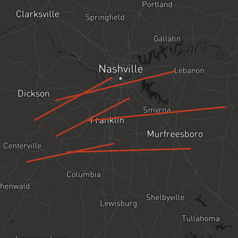
stormcells-tracks
Forecast track component of observed storm cells.
SDK Support
Javascript
>= 1.0.0
Apple
>= 1.2.0
Android
>= 1.2.0
Regions
US
Type
Animates
Yes
Updates
3 min
Range
-7 days
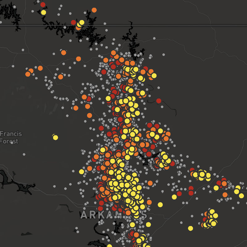
stormreports
Local storm reports (LSR) as transmitted by the National Weather Service (NWS).
SDK Support
Javascript
>= 1.0.0
Apple
>= 1.2.0
Android
>= 1.2.0
Regions
US
Type
Animates
Yes
Updates
15 min
Range
-7 days
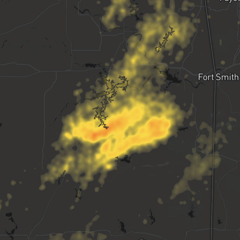
stormreports-heat
Local storm reports (LSR) as transmitted by the National Weather Service (NWS).
SDK Support
Javascript
>= 1.0.0
Apple
>= 1.2.0
Android
>= 1.2.0
Regions
US
Type
Animates
Yes
Updates
15 min
Range
-7 days
storm-surge
Amount of abnormal rise of water over and above the predicted astronomical tides due to storm activity. (Not inland storm surge)
SDK Support
Javascript
>= 1.2.4
Apple
>= 1.0.0
Android
>= 1.0.0
Regions
Global
Type
Animates
Yes
Updates
6 hour
Range
-15 to +7 days
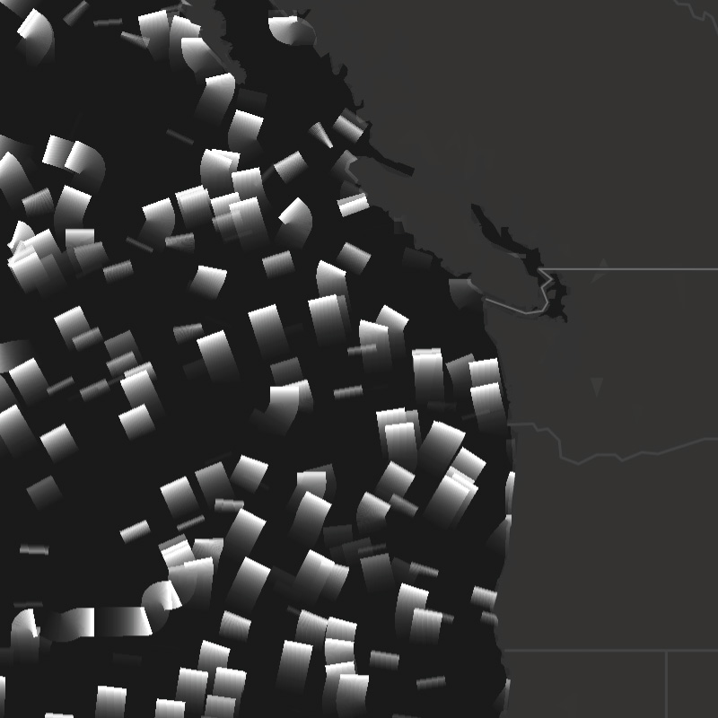
swell2-dir
Direction of movement of secondary ocean swells.
SDK Support
Javascript
>= 1.2.4
Apple
>= 1.6.0
Android
-
Regions
Global
Type
Animates
Yes
Updates
6 hour
Range
-15 to +15 days
swell2-heights
Secondary swell height, which is the difference between the elevations of a swell crest and a neighboring trough.
SDK Support
Javascript
>= 1.2.4
Apple
>= 1.0.0
Android
>= 1.0.0
Regions
Global
Type
Animates
Yes
Updates
6 hour
Range
-15 to +15 days
swell2-particles
Direction of movement of secondary ocean swells depicted by particles moving in a vector flow field. The speed of particles does not indicate the speed of swells.
SDK Support
Javascript
>= 1.2.4
Apple
>= 1.0.0
Android
-
Regions
Global
Type
Animates
Yes
Updates
6 hour
Range
-15 to +15 days
swell2-periods
Secondary swell period, which is the time it takes for two successive swell crests to reach a fixed point. The greater the number of seconds between swells, the larger the resulting wave.
SDK Support
Javascript
>= 1.2.4
Apple
>= 1.0.0
Android
>= 1.0.0
Regions
Global
Type
Animates
Yes
Updates
6 hour
Range
-15 to +15 days
swell3-dir
Direction of movement of tertiary ocean swells.
SDK Support
Javascript
>= 1.2.4
Apple
>= 1.6.0
Android
-
Regions
Global
Type
Animates
Yes
Updates
6 hour
Range
-15 to +15 days
swell3-heights
Tertiary swell height, which is the difference between the elevations of a swell crest and a neighboring trough.
SDK Support
Javascript
>= 1.2.4
Apple
>= 1.0.0
Android
>= 1.0.0
Regions
Global
Type
Animates
Yes
Updates
6 hour
Range
-15 to +15 days
swell3-particles
Direction of movement of tertiary ocean swells depicted by particles moving in a vector flow field. The speed of particles does not indicate the speed of swells.
SDK Support
Javascript
>= 1.2.4
Apple
>= 1.0.0
Android
-
Regions
Global
Type
Animates
Yes
Updates
6 hour
Range
-15 to +15 days
swell3-periods
Tertiary swell period, which is the time it takes for two successive swell crests to reach a fixed point. The greater the number of seconds between swells, the larger the resulting wave.
SDK Support
Javascript
>= 1.2.4
Apple
>= 1.0.0
Android
-
Regions
Global
Type
Animates
Yes
Updates
6 hour
Range
-15 to +15 days
swell-dir
Direction of movement of primary ocean swells.
SDK Support
Javascript
>= 1.2.4
Apple
>= 1.6.0
Android
-
Regions
Global
Type
Animates
Yes
Updates
6 hour
Range
-15 to +15 days
swell-heights
Primary swell height, which is the difference between the elevations of a swell crest and a neighboring trough.
SDK Support
Javascript
>= 1.2.4
Apple
>= 1.0.0
Android
>= 1.0.0
Regions
Global
Type
Animates
Yes
Updates
6 hour
Range
-15 to +15 days
swell-particles
Direction of movement of primary ocean swells depicted by particles moving in a vector flow field. The speed of particles does not indicate the speed of swells.
SDK Support
Javascript
>= 1.2.4
Apple
>= 1.0.0
Android
-
Regions
Global
Type
Animates
Yes
Updates
6 hour
Range
-15 to +15 days
swell-periods
Primary swell period, which is the time it takes for two successive swell crests to reach a fixed point. The greater the number of seconds between swells, the larger the resulting wave.
SDK Support
Javascript
>= 1.2.4
Apple
>= 1.0.0
Android
>= 1.0.0
Regions
Global
Type
Animates
Yes
Updates
6 hour
Range
-15 to +15 days
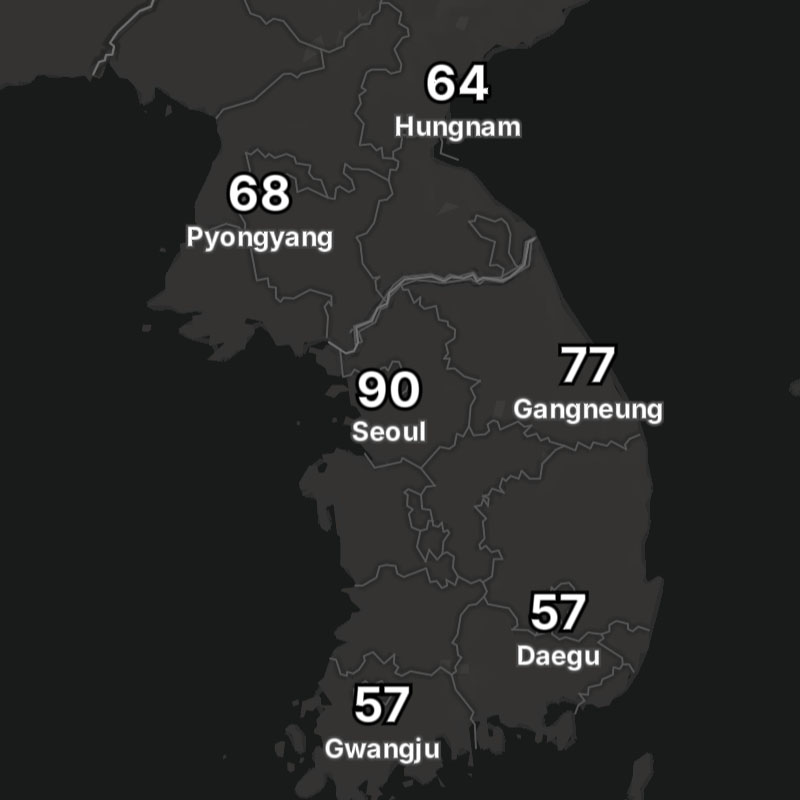
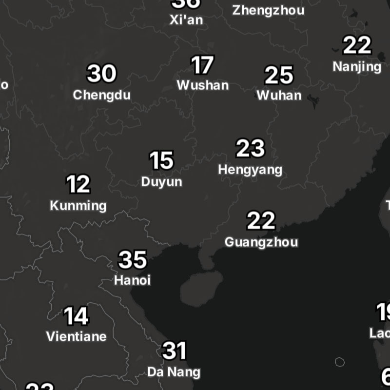
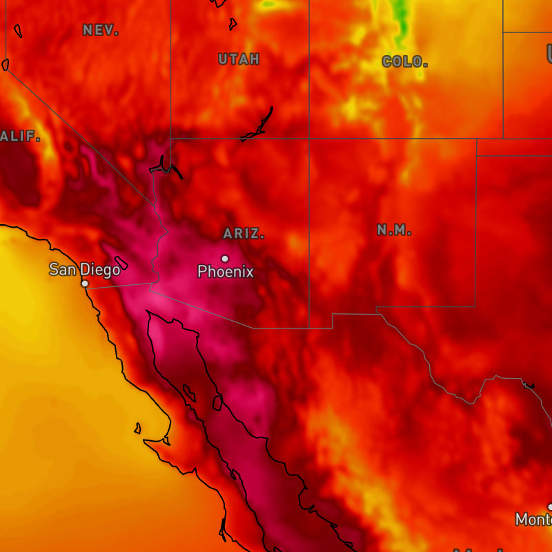
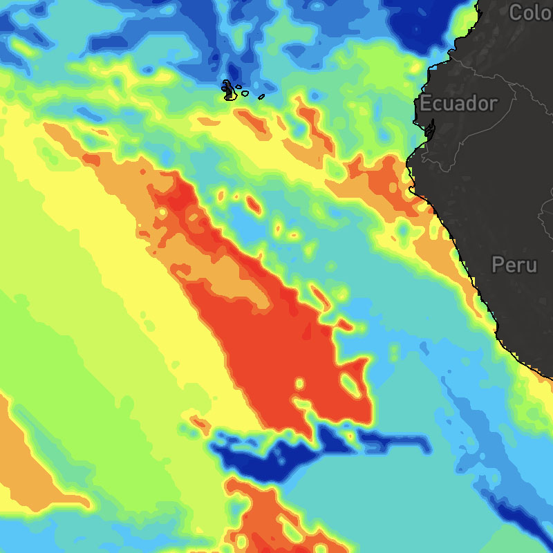
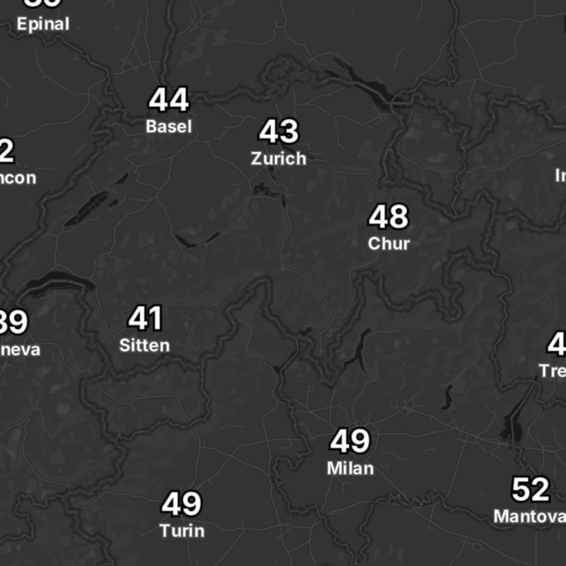
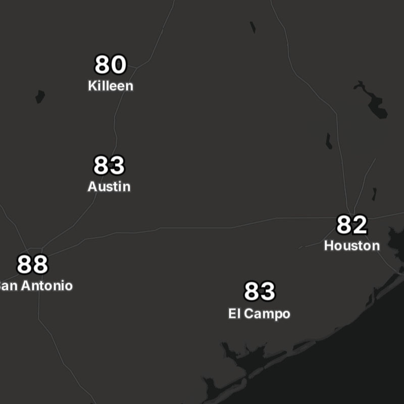
temperatures
Surface temperatures.
SDK Support
Javascript
>= 1.0.0
Apple
>= 1.0.0
Android
>= 1.0.0
Regions
Global
Type
Animates
Yes
Updates
1 hour
Range
-7 to +15 days
temperatures-24hr-change
Change in degrees of temperature between the requested time and the same time 24-hours ago.
SDK Support
Javascript
>= 1.0.0
Apple
>= 1.0.0
Android
>= 1.0.0
Regions
Global
Type
Animates
Yes
Updates
1 hour
Range
-7 to +15 days
temperatures-24hr-change-text
Change in degrees of temperature as text values between the requested time and the same time 24 hours ago.
SDK Support
Javascript
>= 1.5.1
Apple
-
Android
-
Regions
Global
Type
Animates
Yes
Updates
1 hour
Range
-7 to +15 days
temperatures-contour
Surface temperatures as isolines.
SDK Support
Javascript
>= 1.0.0
Apple
>= 1.5.0
Android
>= 1.5.0
Regions
Global
Type
Animates
Yes
Updates
1 hour
Range
-7 to +15 days
temperatures-max
Maximum temperatures for a selected time range. This layer uses the "max" data operation to calculate the maximum temperature across the map timeline's full time range.
SDK Support
Javascript
-
Apple
-
Android
-
Regions
Global
Type
Animates
Yes
Updates
1 hour
Range
-7 days to +15 days
temperatures-max-text
Maximum temperatures for a selected time range as text values for global locations. This layer uses the "max" data operation to calculate the maximum temperatures across the map timeline's full time range.
SDK Support
Javascript
-
Apple
-
Android
-
Regions
Global
Type
Animates
Yes
Updates
1 hour
Range
-7 days to +15 days
temperatures-min
Minimum temperatures for a selected time range. This layer uses the "min" data operation to calculate the minimum temperature across the map timeline's full time range.
SDK Support
Javascript
-
Apple
-
Android
-
Regions
Global
Type
Animates
Yes
Updates
1 hour
Range
-7 days to +15 days
temperatures-min-text
Minimum temperatures for a selected time range as text values for global locations. This layer uses the "min" data operation to calculate the minimum temperatures across the map timeline's full time range.
SDK Support
Javascript
-
Apple
-
Android
-
Regions
Global
Type
Animates
Yes
Updates
1 hour
Range
-7 days to +15 days
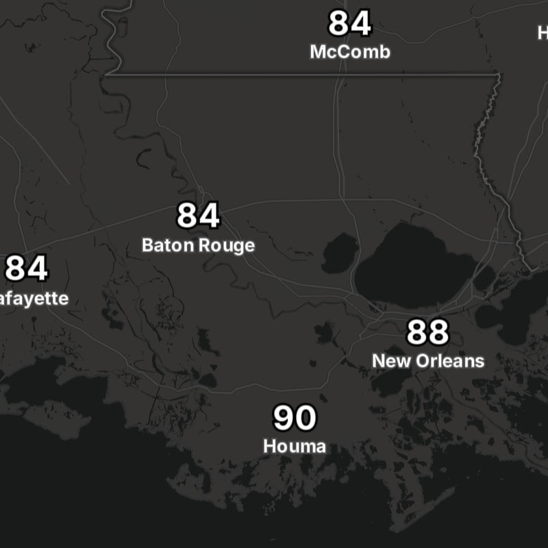
temperatures-text
Surface temperatures as text values for global locations.
SDK Support
Javascript
>= 1.5.0
Apple
-
Android
-
Regions
Global
Type
Animates
Yes
Updates
1 hour
Range
-7 to +15 days
tide-heights
Height of the tide relative to the chart (tidal) datum, which can be positive or negative. The tidal datum is the height of the water used as a zero reference.
SDK Support
Javascript
>= 1.2.4
Apple
>= 1.0.0
Android
>= 1.0.0
Regions
Global
Type
Animates
Yes
Updates
6 hour
Range
-15 to +7 days
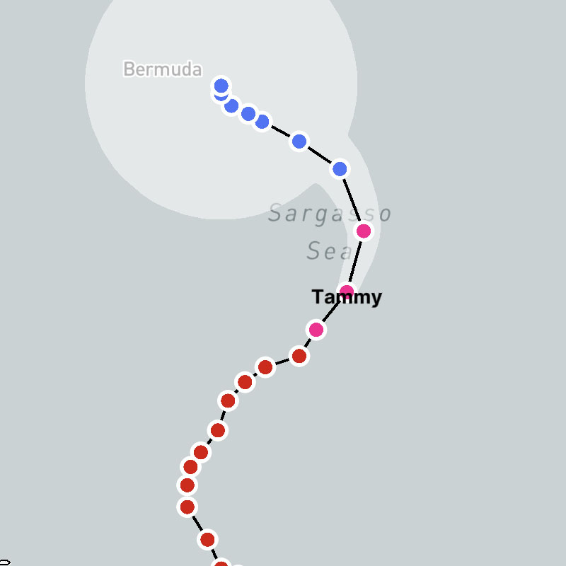
tropical-cyclones
Combined layer consisting of tropical cyclone tracks, lines, positions, names, and forecasts for active storms only.
Composite Layer
This layer is a composite layer that is a combination of the following layers:
tropical-cyclones-positions, tropical-cyclones-names, tropical-cyclones-track-lines, tropical-cyclones-track-points, tropical-cyclones-forecast-lines, tropical-cyclones-forecast-points, tropical-cyclones-forecast-error-conesSDK Support
Javascript
>= 1.4.0
Apple
>= 1.2.0
Android
>= 1.2.0
Regions
Global
Type
composite
Animates
No
Updates
1-6 hour
Range
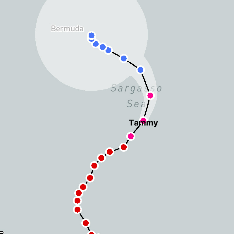
tropical-cyclones-archive
Combined layer consisting of tropical cyclone tracks and lines for all active and past storms.
Composite Layer
This layer is a composite layer that is a combination of the following layers:
tropical-cyclones-track-lines-archive, tropical-cyclones-track-points-archiveSDK Support
Javascript
>= 1.4.0
Apple
>= 1.2.0
Android
>= 1.2.0
Regions
Global
Type
composite
Animates
No
Updates
1-6 hours
Range
tropical-cyclones-archive-icons
Combined layer consisting of tropical cyclone tracks (as icons) and lines for all active and past storms.
Composite Layer
This layer is a composite layer that is a combination of the following layers:
tropical-cyclones-track-lines-archive, tropical-cyclones-track-point-icons-archiveSDK Support
Javascript
>= 1.6.0
Apple
>= 1.2.0
Android
>= 1.2.0
Regions
Global
Type
composite
Animates
No
Updates
1-6 hour
Range
tropical-cyclones-forecast-error-cones
Tropical cyclone forecast error cones for active storms only.
SDK Support
Javascript
>= 1.4.0
Apple
>= 1.2.0
Android
>= 1.2.0
Regions
Global
Type
Animates
No
Updates
1-6 hour
Range
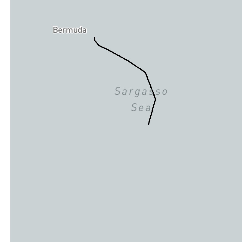
tropical-cyclones-forecast-lines
Tropical cyclone forecast track lines for active storms only.
SDK Support
Javascript
>= 1.4.0
Apple
>= 1.2.0
Android
>= 1.2.0
Regions
Global
Type
Animates
No
Updates
1-6 hours
Range
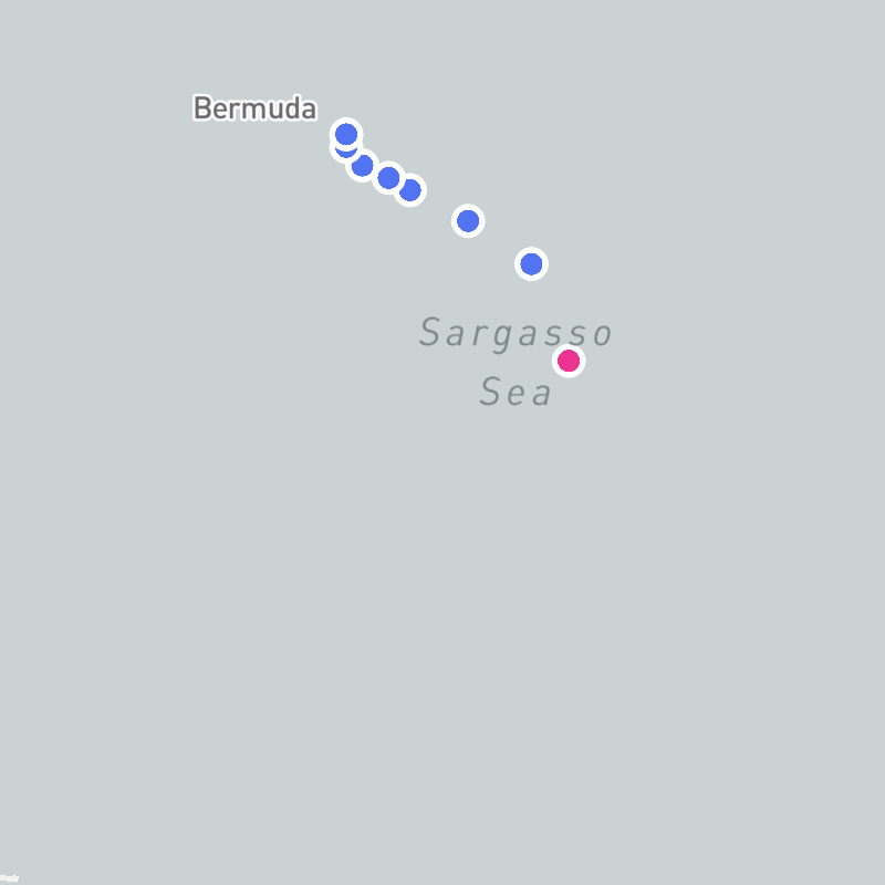
tropical-cyclones-forecast-point-icons
Tropical cyclone forecast track points (as icons) for active storms only.
SDK Support
Javascript
>= 1.6.0
Apple
>= 1.2.0
Android
>= 1.2.0
Regions
Global
Type
Animates
No
Updates
1-6 hour
Range
tropical-cyclones-forecast-points
Tropical cyclone forecast track points for active storms only.
SDK Support
Javascript
>= 1.4.0
Apple
>= 1.2.0
Android
>= 1.2.0
Regions
Global
Type
Animates
No
Updates
1-6 hour
Range
tropical-cyclones-icons
Combined layer consisting of tropical cyclone tracks (as icons), lines, positions (as icons), names, and forecasts for active storms only.
Composite Layer
This layer is a composite layer that is a combination of the following layers:
tropical-cyclones-position-icons, tropical-cyclones-names, tropical-cyclones-track-lines, tropical-cyclones-track-point-icons, tropical-cyclones-forecast-lines, tropical-cyclones-forecast-point-icons, tropical-cyclones-forecast-error-conesSDK Support
Javascript
>= 1.6.0
Apple
>= 1.2.0
Android
>= 1.2.0
Regions
Global
Type
composite
Animates
No
Updates
1-6 hour
Range
tropical-cyclones-invests
Current tropical invests, which are areas of low pressure with the potential of further tropical development.
SDK Support
Javascript
>= 1.4.0
Apple
>= 1.2.0
Android
>= 1.2.0
Regions
Global
Type
Animates
No
Updates
1-6 hour
Range
tropical-cyclones-names
Current names of active tropical cyclones.
SDK Support
Javascript
>= 1.4.0
Apple
>= 1.2.0
Android
>= 1.2.0
Regions
Global
Type
Animates
No
Updates
1-6 hour
Range
tropical-cyclones-position-icons
Current positions (as icons) of active tropical cyclones.
SDK Support
Javascript
>= 1.6.0
Apple
>= 1.2.0
Android
>= 1.2.0
Regions
Global
Type
Animates
No
Updates
1-6 hour
Range
tropical-cyclones-positions
Current positions of active tropical cyclones.
SDK Support
Javascript
>= 1.4.0
Apple
>= 1.2.0
Android
>= 1.2.0
Regions
Global
Type
Animates
No
Updates
1-6 hour
Range
tropical-cyclones-track-lines
Tropical cyclone track lines for active storms only.
SDK Support
Javascript
>= 1.4.0
Apple
>= 1.2.0
Android
>= 1.2.0
Regions
Global
Type
Animates
No
Updates
1-6 hours
Range
tropical-cyclones-track-lines-archive
Tropical cyclone track lines for all active and past storms.
SDK Support
Javascript
>= 1.4.0
Apple
>= 1.2.0
Android
>= 1.2.0
Regions
Global
Type
Animates
No
Updates
1-6 hours
Range
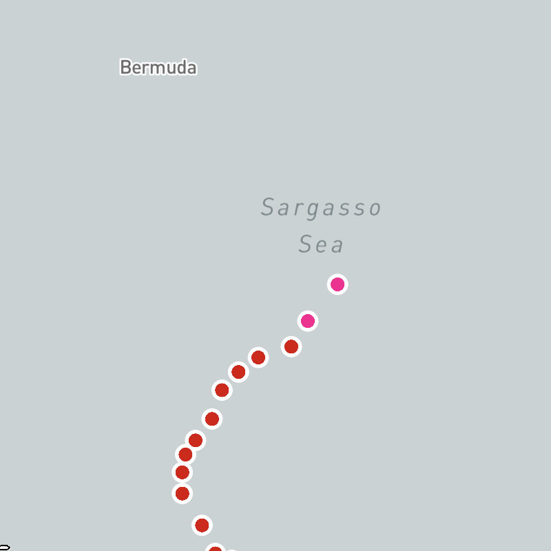
tropical-cyclones-track-point-icons
Tropical cyclone track points (as icons) for active storms only.
SDK Support
Javascript
>= 1.6.0
Apple
>= 1.2.0
Android
>= 1.2.0
Regions
Global
Type
Animates
No
Updates
1-6 hour
Range
tropical-cyclones-track-point-icons-archive
Tropical cyclone track points as icons for all active and past storms.
SDK Support
Javascript
>= 1.6.0
Apple
>= 1.2.0
Android
>= 1.2.0
Regions
Global
Type
Animates
No
Updates
1-6 hour
Range
tropical-cyclones-track-points
Tropical cyclone track points for active storms only.
SDK Support
Javascript
>= 1.4.0
Apple
>= 1.2.0
Android
>= 1.2.0
Regions
Global
Type
Animates
No
Updates
1-6 hours
Range
tropical-cyclones-track-points-archive
Tropical cyclone track points for all active and past storms.
SDK Support
Javascript
>= 1.4.0
Apple
>= 1.2.0
Android
>= 1.2.0
Regions
Global
Type
Animates
No
Updates
1-6 hour
Range
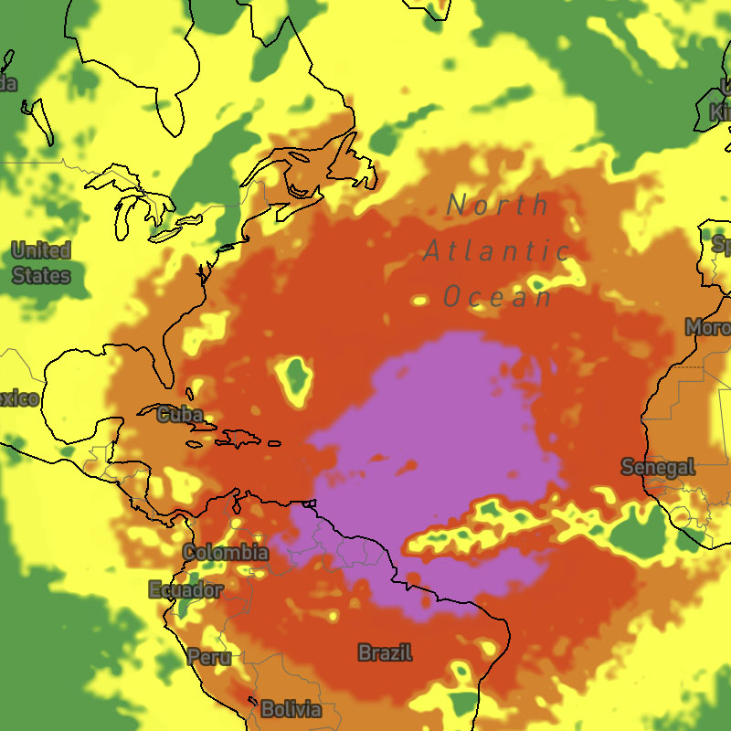
uvi
Ultraviolet index (UVI) at the requested time.
SDK Support
Javascript
>= 1.0.0
Apple
>= 1.0.0
Android
>= 1.0.0
Regions
Global
Type
Animates
Yes
Updates
1 hour
Range
-7 days
uvi-text
Ultraviolet index (UVI) at the requested time interval as text values for global locations.
SDK Support
Javascript
>= 1.5.0
Apple
-
Android
-
Regions
Global
Type
Animates
Yes
Updates
1 hour
Range
-7 to +15 days

visibility
Visibility as a distance.
SDK Support
Javascript
>= 1.0.0
Apple
>= 1.0.0
Android
>= 1.0.0
Regions
Global
Type
Animates
Yes
Updates
1 hour
Range
-7 to +15 days
visibility-text
Surface visibility as text values for global locations.
SDK Support
Javascript
>= 1.5.0
Apple
-
Android
-
Regions
Global
Type
Animates
Yes
Updates
1 hour
Range
-7 to +15 days
water
Natural bodies of water.
SDK Support
Javascript
>= 1.5.0
Apple
>= 1.2.0
Android
>= 1.2.0
Regions
Global
Type
Animates
No
Updates
-
Range
-
waterway-lake-river-boundaries
Natural boundaries along lakes and rivers.
SDK Support
Javascript
>= 1.5.0
Apple
>= 1.2.0
Android
>= 1.2.0
Regions
Global
Type
Animates
No
Updates
-
Range
-
waterway-ocean-boundaries
Natural boundaries along coastlines.
SDK Support
Javascript
>= 1.5.0
Apple
>= 1.2.0
Android
>= 1.2.0
Regions
Global
Type
Animates
No
Updates
-
Range
-
waterways-text
Waterway name labels.
SDK Support
Javascript
>= 1.5.0
Apple
>= 1.2.0
Android
>= 1.2.0
Regions
Global
Type
Animates
No
Updates
-
Range
-
wave-dir
Direction of movement of ocean waves.
SDK Support
Javascript
>= 1.2.4
Apple
>= 1.6.0
Android
-
Regions
Global
Type
Animates
Yes
Updates
6 hour
Range
-15 to +15 days
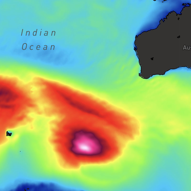
wave-heights
Significant wave height, which is the difference between the elevations of a wave crest and a neighboring trough.
SDK Support
Javascript
>= 1.2.4
Apple
>= 1.0.0
Android
>= 1.0.0
Regions
Global
Type
Animates
Yes
Updates
6 hour
Range
-15 to +15 days
wave-particles
Direction of movement of ocean waves depicted by particles moving in a vector flow field. The speed of particles does not indicate the speed of waves.
SDK Support
Javascript
>= 1.2.4
Apple
>= 1.0.0
Android
-
Regions
Global
Type
Animates
Yes
Updates
6 hour
Range
-15 to +15 days
wave-periods
Wave period, which is the time it takes for two successive wave crests to reach a fixed point. The greater the number of seconds between waves, the larger the resulting wave.
SDK Support
Javascript
>= 1.2.4
Apple
>= 1.0.0
Android
>= 1.0.0
Regions
Global
Type
Animates
Yes
Updates
6 hour
Range
-15 to +15 days
wind-barbs
Surface wind speeds and direction depicted by wind barbs.
SDK Support
Javascript
>= 1.0.0
Apple
>= 1.6.0
Android
-
Regions
Global
Type
Animates
Yes
Updates
1 hour
Range
-7 to +15 days
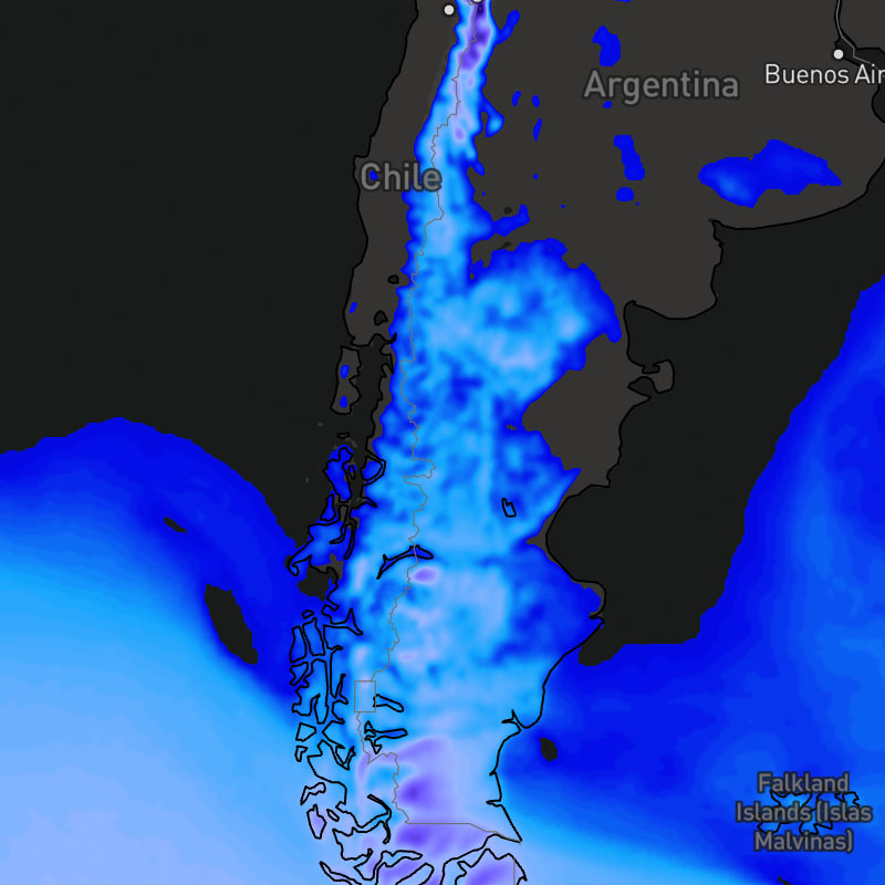
wind-chill
Wind chill, where temperatures are at or below 40F (4.44C).
SDK Support
Javascript
>= 1.0.0
Apple
>= 1.0.0
Android
>= 1.0.0
Regions
Global
Type
Animates
Yes
Updates
1 hour
Range
-7 to +15 days
wind-chill-text
Wind chill as text values for global locations.
SDK Support
Javascript
>= 1.5.0
Apple
-
Android
-
Regions
Global
Type
Animates
Yes
Updates
1 hour
Range
-7 to +15 days
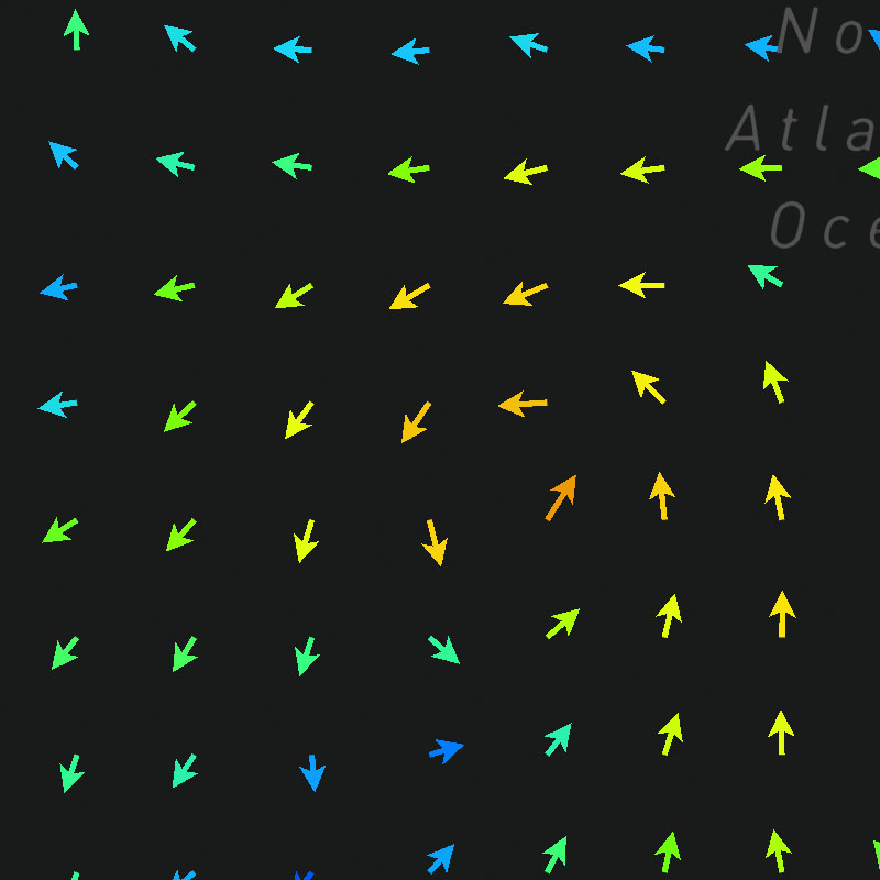
wind-dir
Surface wind direction depicted by a grid of arrows.
SDK Support
Javascript
>= 1.0.0
Apple
>= 1.6.0
Android
-
Regions
Global
Type
Animates
Yes
Updates
1 hour
Range
-7 to +15 days
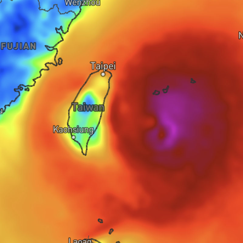
wind-gusts
Surface wind gusts.
SDK Support
Javascript
>= 1.5.1
Apple
>= 1.0.0
Android
>= 1.0.0
Regions
Global
Type
Animates
Yes
Updates
1 hour
Range
-7 to +15 days
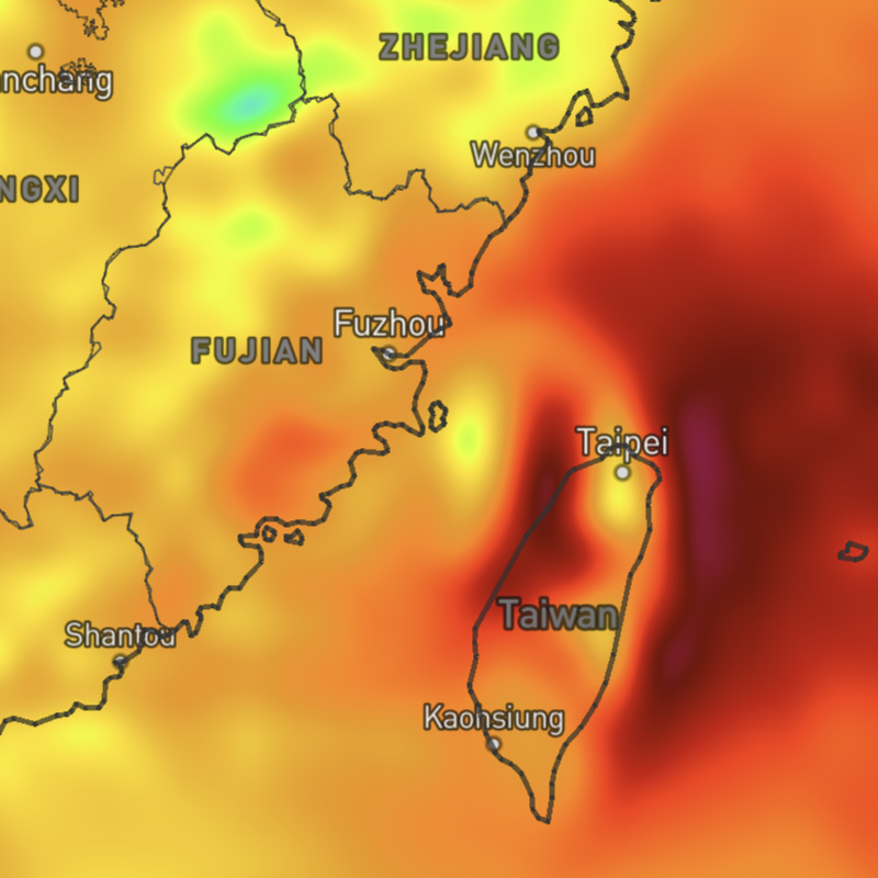
wind-gusts-max
Maximum wind gusts for a selected time range. This layer uses the "max" data operation to calculate the maximum wind gusts across the map timeline's full time range.
SDK Support
Javascript
-
Apple
-
Android
-
Regions
Global
Type
Animates
Yes
Updates
1 hour
Range
-7 days to +15 days

wind-gusts-max-text
Maximum wind gusts for a selected time range as text values for global locations. This layer uses the "max" data operation to calculate the maximum wind gusts across the map timeline's full time range.
SDK Support
Javascript
-
Apple
-
Android
-
Regions
Global
Type
Animates
Yes
Updates
1 hour
Range
-7 days to +15 days
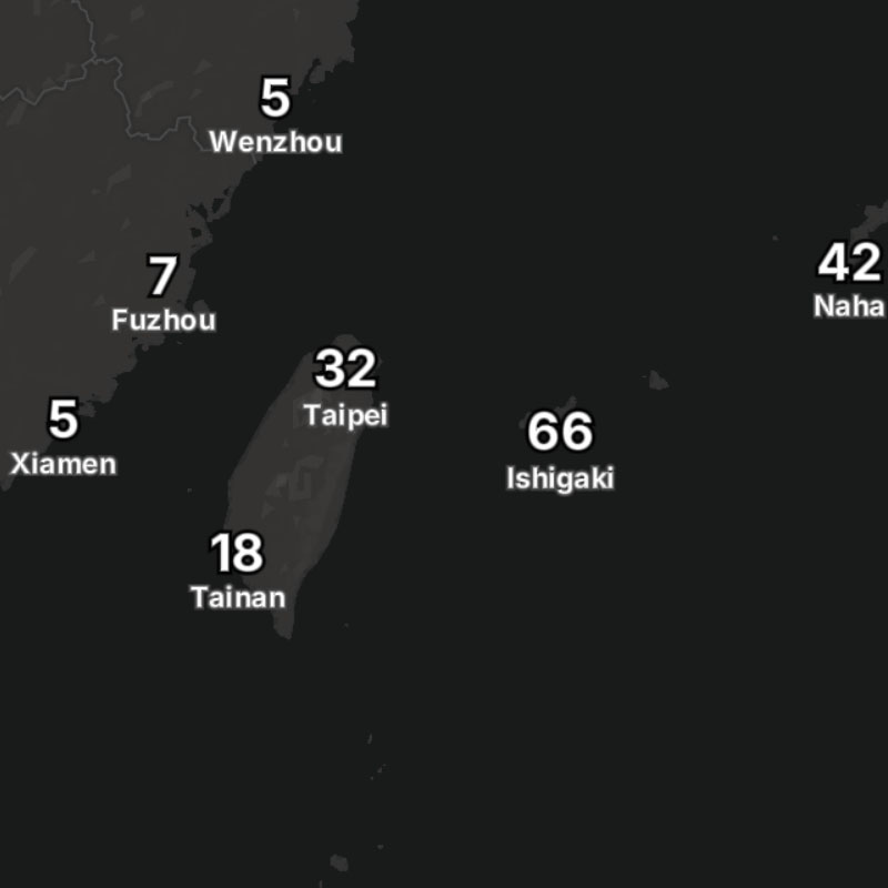
wind-gusts-text
Surface wind gusts as text values for locations globally.
SDK Support
Javascript
>= 1.5.1
Apple
-
Android
-
Regions
Global
Type
Animates
Yes
Updates
1 hour
Range
-7 to +15 days
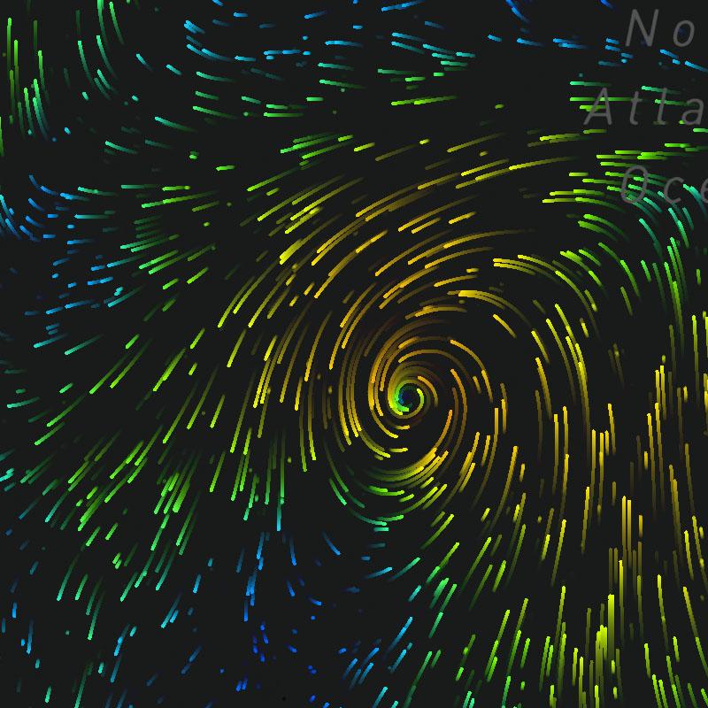
wind-particles
Surface wind speeds and direction depicted by particles moving in a vector flow field.
SDK Support
Javascript
>= 1.0.0
Apple
>= 1.0.0
Android
>= 1.0.0
Regions
Global
Type
Animates
Yes
Updates
1 hour
Range
-7 to +15 days
wind-particles-arrow
Surface wind speeds and direction depicted by arrow symbols moving in a vector flow field.
SDK Support
Javascript
>= 1.5.0
Apple
-
Android
-
Regions
Global
Type
Animates
Yes
Updates
1 hour
Range
-7 to +15 days
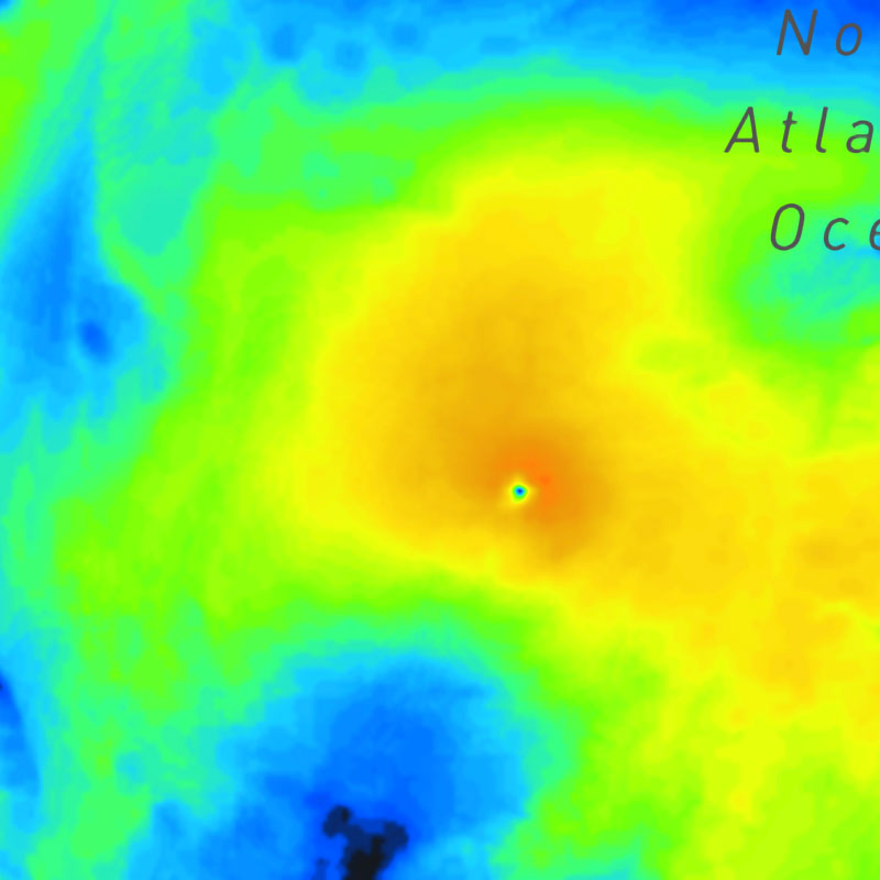
wind-speeds
Surface wind speeds.
SDK Support
Javascript
>= 1.0.0
Apple
>= 1.0.0
Android
>= 1.0.0
Regions
Global
Type
Animates
Yes
Updates
1 hour
Range
-7 to +15 days
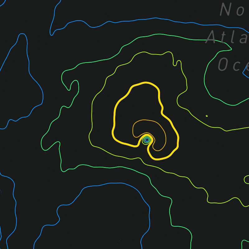
wind-speeds-contour
Surface wind speeds as isolines.
SDK Support
Javascript
>= 1.0.0
Apple
>= 1.5.0
Android
>= 1.5.0
Regions
Global
Type
Animates
Yes
Updates
1 hour
Range
-7 to +15 days
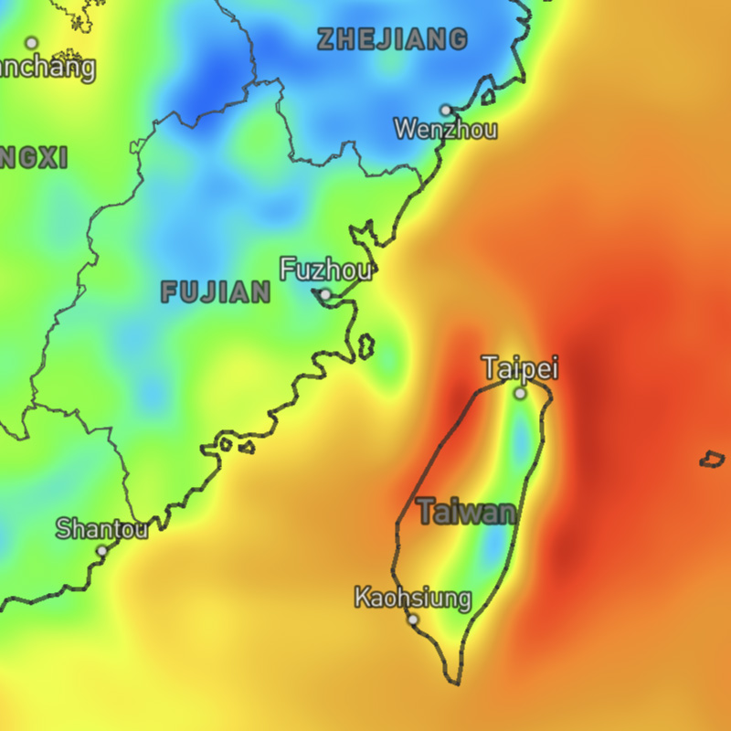
wind-speeds-max
Maximum wind speeds for a selected time range. This layer uses the "max" data operation to calculate the maximum wind speeds across the map timeline's full time range.
SDK Support
Javascript
-
Apple
-
Android
-
Regions
Global
Type
Animates
Yes
Updates
1 hour
Range
-7 days to +15 days
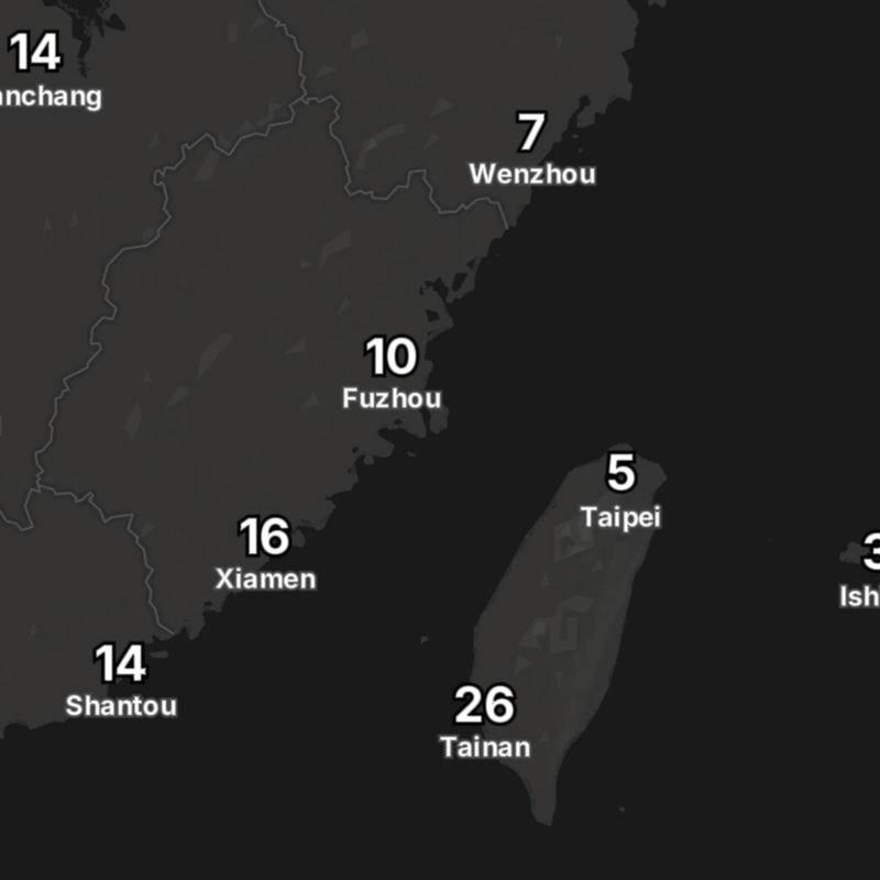
wind-speeds-max-text
Maximum wind speeds for a selected time range as text values for global locations. This layer uses the "max" data operation to calculate the maximum wind speeds across the map timeline's full time range.
SDK Support
Javascript
-
Apple
-
Android
-
Regions
Global
Type
Animates
Yes
Updates
1 hour
Range
-7 days to +15 days
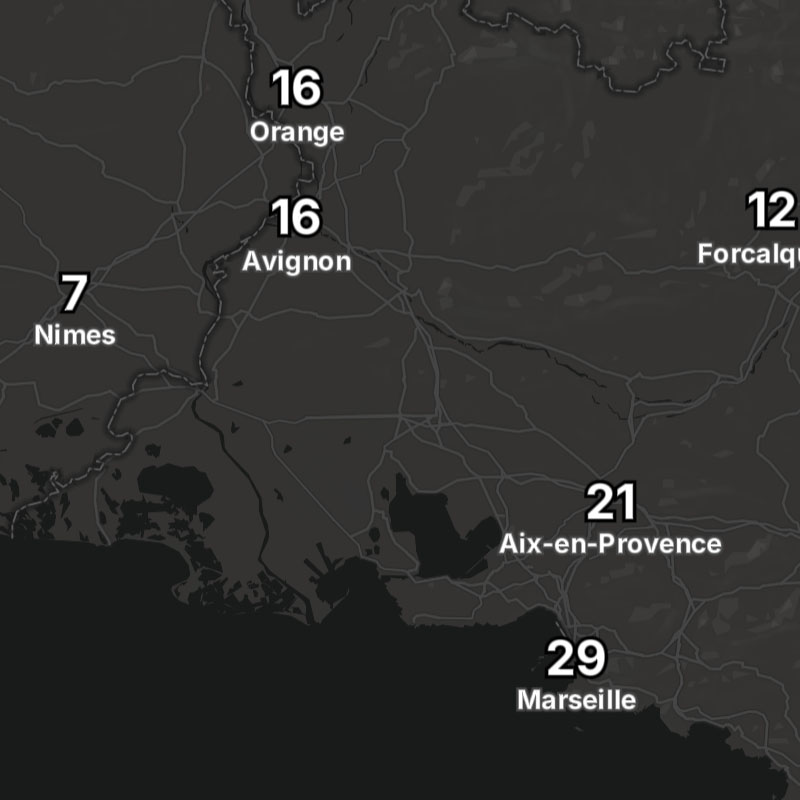
wind-speeds-text
Surface wind speeds as text values for global locations.
SDK Support
Javascript
>= 1.5.0
Apple
-
Android
-
Regions
Global
Type
Animates
Yes
Updates
1 hour
Range
-7 to +15 days