MapsGL iOS - Xweather MapsGL SDK for Apple Platforms
Xweather MapsGL SDK for Apple Platforms enables developers to easily integrate MapsGL’s comprehensive weather data and dynamic mapping capabilities into applications running on iOS, iPadOS, macOS, and visionOS. With this SDK, you can add interactive weather maps to your apps, providing users with real-time weather visualizations, forecasts, and meteorological events.
Follow our Getting Started guide to quickly add weather data and visualizations to your Apple-platform native apps.
Features
- Visualizing real-time weather and geospatial data
- High-performance layer rendering with Metal
- Customizable presentation and styling of weather and geospatial information client-side
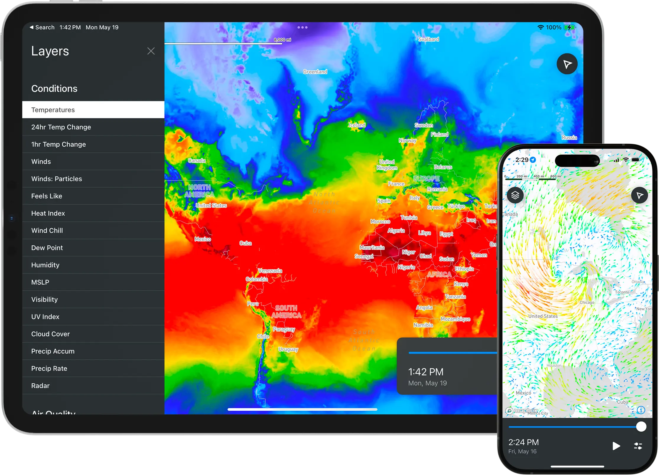
Check out our Demo project to see how to integrate MapsGL with your app.
Requirements + Compatibility
- Requires an active Xweather Weather API and Maps subscription .
- Integrates with third-party mapping libraries, including Mapbox Maps and MapLibre Native for iOS .
- Compatible with Swift projects on iOS, iPadOS, and macCatalyst 16+.
Concepts
MapsGL is a graphics library utilizing Metal that renders weather and other custom map data all in apps for Apple platforms. Since rendering happens client-side, a user has full control over the styling and rendering of that data compared to server-side rendering of raster tiles.
Map Controller
A map controller acts as an adapter to a third-party mapping library and provides a consistent interface between the functionality of MapsGL and the underlying implementation of a third-party mapping library. All MapsGL-related data, such as data sources, weather layers, custom layers, and animation timeline information, is managed by the map controller. MapsGL currently provides map controller integrations for both Mapbox and MapLibre on Apple platforms.
Sources
Data sources are responsible for loading and providing the necessary data for a map layer. Since data sources are created and cached apart from their associated layer(s), a single data source can be used to render one or more layers with different styles. A layer must be associated with a data source in order for it to be rendered to the map.
The following data sources are currently supported with the MapsGL Apple SDK:
- raster: Static raster imagery that cannot easily be converted to vector formats, such as satellite or aerial imagery.
- vector: Vector tiles that contain geospatial vector data, such as points, lines, and polygons.
- geojson: JSON based format designed that represents geographical features with their non-spatial attributes.
- encoded: Gridded binary/raster data whose data is encoded into one or more color bands of an image.
Layer
Layers are the visual, fully styled representations of the data associated with their data source. Currently, all MapsGL layers are tile layers whose tile data can vary depending on the type of data source used. Each layer renders its data based on the renderer type the layer is configured with.
The following layer render types are currently supported with the MapsGL Apple SDK:
- raster: Renders static raster imagery
- fill: Renders vector polygon geometry as filled shapes
- line: Renders vector polygon and polyline geometry as lines
- circle: Renders vector points as circles
- symbol: Renders vector points as images or glyphs
- sample: Renders encoded data by sampling values and colorizing them based on a color scale
- grid: Renders encoded data as a screen-space grid of sampled symbols such as arrows and wind barbs
- contour: Renders isolines by sampling encoded raster data
- particle: Renders vector data, such as wind speed or ocean currents, as particle flow fields
- heatmap: Renders the density of vector point data
Styles
Layer styles, also referred to as paint properties, define how layer data will be rendered on the map. The available styling options are depenedent upon the data source and configured layer renderer type. Refer to the Styles documentation for complete details regarding the configurable paint properties for controlling your data’s presentation.
Weather Layers
Our MapsGL SDK also includes numerous pre-configured and pre-styled weather layers for you to include in your maps just by using a simple layer code. You can learn more about using these built-in weather layers by reviewing our Weather Layers documentation.