JavaScript SDK - Animating an InteractiveMap
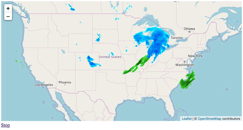
Animate an interactive map. The following example will enabling toggling the map animation with radar and stormreports layers for the past 6 hours.
<!DOCTYPE html>
<html>
<head>
    <meta charset="UTF-8">
    <title>Xweather JavaScript SDK - Interactive Map Animation</title>
    <script defer src="https://cdn.aerisapi.com/sdk/js/latest/aerisweather.min.js"></script>
    <link rel="stylesheet" href="https://cdn.aerisapi.com/sdk/js/latest/aerisweather.css">

    <style>
    #map {
        height: 400px;
    }
    .map-container {
        margin: 30px auto;
        width: 800px;
    }
    </style>

</head>
<body>

<div class="map-container">
    <div id="map"></div>
    <div class="map-controls" style="margin-top:5px;">
        <a id="map-toggle-anim" href="./#">Play</a>
    </div>
</div>

<script>

    window.onload = () => {

        const aeris = new AerisWeather('CLIENT_ID', 'CLIENT_SECRET');

        aeris.views().then(views => {
            const map = new views.InteractiveMap(document.getElementById('map'), {
                center: {
                    lat: 39.0,
                    lon: -95.5
                },
                zoom: 4,
                layers: 'radar,stormreports',
                timeline: {
                    from: -6 * 3600,
                    to: 0
                }
            });

            const control = document.getElementById('map-toggle-anim');
            map.on('load', () => {

                   // update the control label based on the map animation state
                map.on('timeline:play', () => {
                    control.innerHTML = 'Stop';
                });
                map.on('timeline:stop', () => {
                    control.innerHTML = 'Play';
                });

                // toggle the animation when the play/stop button is clicked
                control.addEventListener('click', function(e) {
                    e.preventDefault();
                    map.timeline.toggle();
                });
            });
        });
    };

</script>

</body>
</html>