JavaScript SDK - Using an Existing Map With an InteractiveMap
Setup an interactive map using an existing third-party map instance. The following example will use an existing Mapbox map when setting up an interactive map instance.
<!DOCTYPE html>
<html>
<head>
<meta charset="UTF-8">
<title>Aeris JavaScript SDK - Existing Map with an Interactive Map</title>
<script defer src="https://cdn.aerisapi.com/sdk/js/latest/aerisweather.min.js"></script>
<link rel="stylesheet" href="https://cdn.aerisapi.com/sdk/js/latest/aerisweather.css">
<link rel="stylesheet" href="https://weather-api.tiles.mapbox.com/mapbox-gl-js/v0.51.0/mapbox-gl.css">
<script src="https://weather-api.tiles.mapbox.com/mapbox-gl-js/v0.51.0/mapbox-gl.js"></script>
<style>
#map {
height: 400px;
margin: 30px auto;
width: 800px;
}
</style>
</head>
<body>
<div id="map"></div>
<script>
window.onload = () => {
mapboxgl.accessToken = 'MAPBOX_TOKEN';
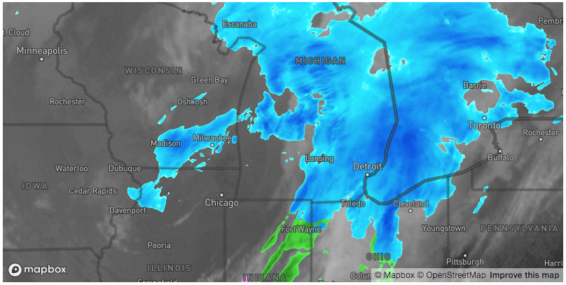
const mapboxMap = new mapboxgl.Map({
container: document.getElementById('map'),
style: 'mapbox://styles/mapbox/dark-v9',
center: [-85.7, 43.1],
zoom: 5
});
const aeris = new AerisWeather('CLIENT_ID', 'CLIENT_SECRET');
aeris.views().then(views => {
const map = new views.InteractiveMap(mapboxMap, {
layers: 'satellite:80,radar',
timeline: {
from: -6 * 3600,
to: 0
}
});
});
};
</script>
</body>
</html>