MCP Server - Maps
Use raster maps to visualize current, recent, or forecast weather conditions across a range of weather and base map layers, including all popular layers from the Xweather Raster Maps.
Tool Directory
| Tool | Description | Use Cases |
|---|---|---|
| xweather_get_raster_maps | Generate raster map for any location | Alert dashboards, live radar / storm tracking, embedded forecast maps. |
xweather_get_raster_maps
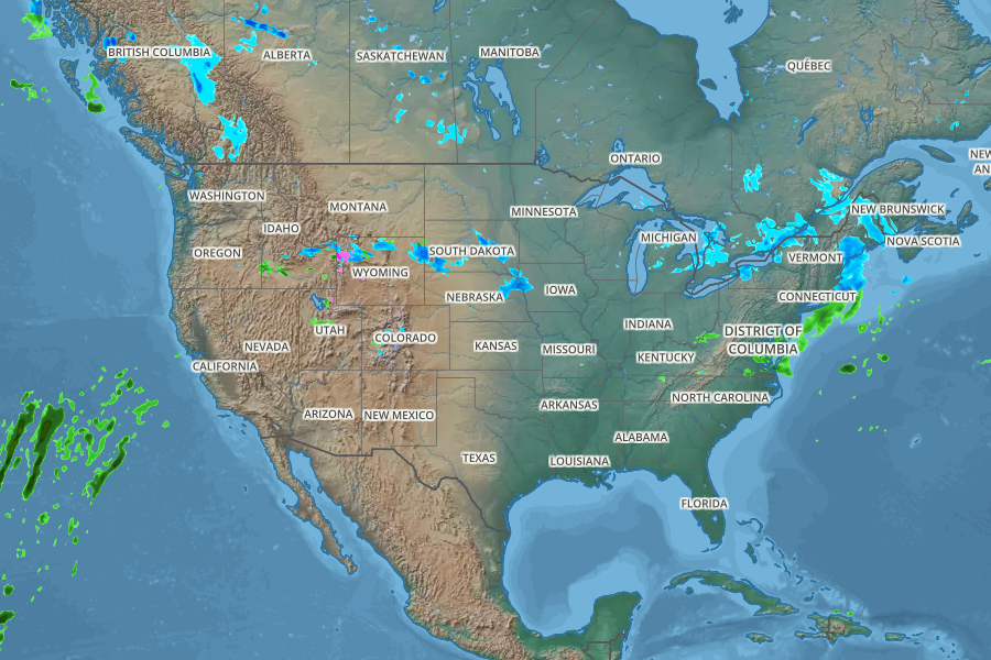
Prompt
Generate a map for next hour's forecast centered over the US. Use a terrain map, add radar, and show state names.
Estimated API Calls: See Raster maps usage documentation