Hail API endpoints
Hail data is available through our Weather API, and as mapping layers in our Raster Mapping API, and our vector weather mapping library, MapsGL.


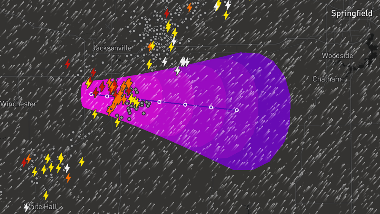
Visualize hail threats in real time with MapsGL
Access global hail data through responsive map layers using our JavaScript, iOS, and Android SDKs. Explore the available layers in the documentation and see live examples in our weather app, Xweather Live.
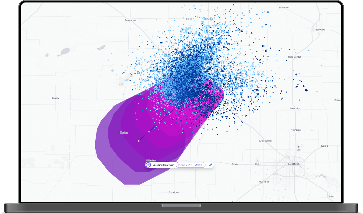
hail-threats– Composite layer showing forecast hail threat areas using points, polygons, and storm tracks (updated every 2 minutes).hail-severe-probability– Hourly probability of severe hail (1"+ diameter) at each location.hail-severe-probability-max– Max severe hail probability across a selected time range.hail-size– Maximum observed hail size in hourly intervals.hail-size-max– Largest observed hail size across a selected time range.hail-threats-points– Individual forecast hail threat locations as discrete points.hail-threats-polygons– Forecast hail threat zones visualized as area-based polygons.hail-threats-tracks– Projected paths of hail-producing storms.

Xweather webhooks deliver real-time hail threat alerts
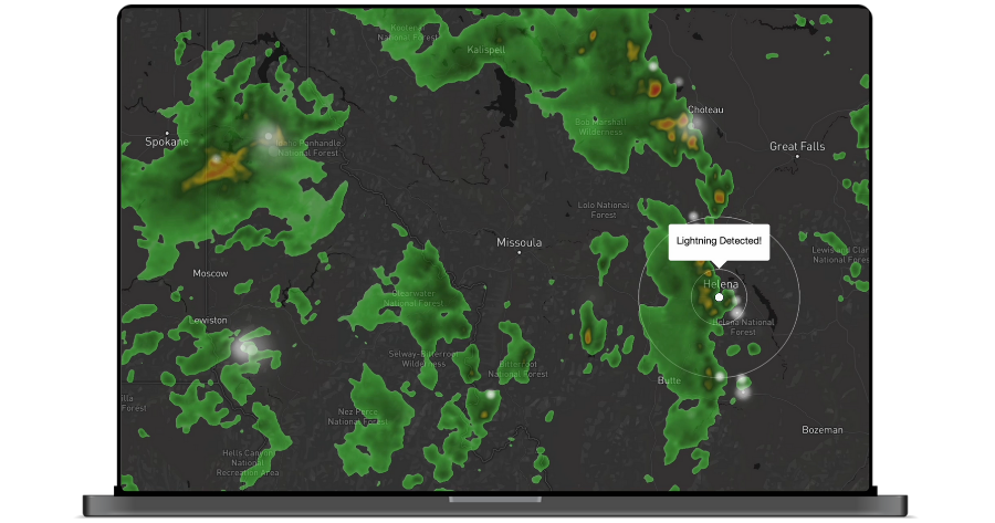
Subscribe to hail events and get notified the moment a threat is detected near your assets. Webhooks push critical weather data, including hail, lightning, and severe storms, directly to your system, so you never miss a high-impact event.
Contact our team to configure webhook access for hail and other severe weather.


Hail forecast alerts in Xweather Protect
Xweather Protect is our software solution for automating weather alerts and monitoring severe storm risks in real time—across all your locations worldwide.
It includes hail forecast alerts, which notify you up to 60 minutes in advance when severe hail is predicted near a critical asset. Use this early warning to reduce downtime, prevent damage, and protect high-value infrastructure.
Hail forecast alerts are supported for assets in the United States, Canada, Japan, Australia, and most of Europe (excluding Greece and North Macedonia).

Watch how developers are using hail data to protect critical assets
Xweather's Lee Huffman (Head of DaaS) and Seth Miller (Core DaaS Services Lead) discuss the Phrases API, impacts endpoint, hail endpoints, and techniques for building asset protection into your operations.
In this video:
Learn about new hail/threats & hail/archive endpoints – Get precise, real-time and historical hail data for risk assessment
Overview of the new Phrases API – an API that generates natural language summaries of complex weather conditions
Learn about the Impacts endpoint – Deliver activity-specific weather intelligence for smarter decision-making
Get in touch with our experts
Talk to our team to explore how accurate hail insights can strengthen your planning and decision-making.
Weather API trials and pricing
Get started with a free 30-day Developer Trial of our Weather API.