Cyclone season: Be ready for what's ahead
As cyclone season unfolds, staying aware of coastal and ocean conditions is critical for public safety and business continuity. At Vaisala Xweather, we combine the best of science and technology to help you protect your people and make informed, confident decisions.
See our data and mapping products in action with Xweather Live, or start your free API trial to test both our Weather API and mapping tools in your own applications.
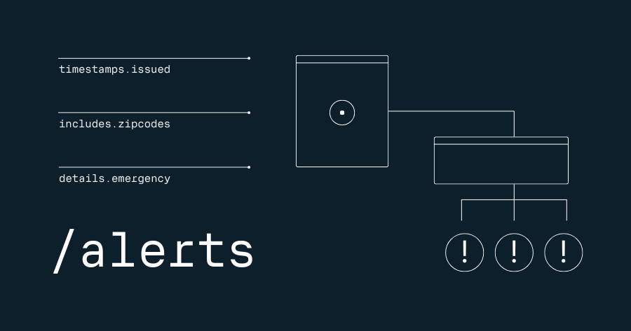
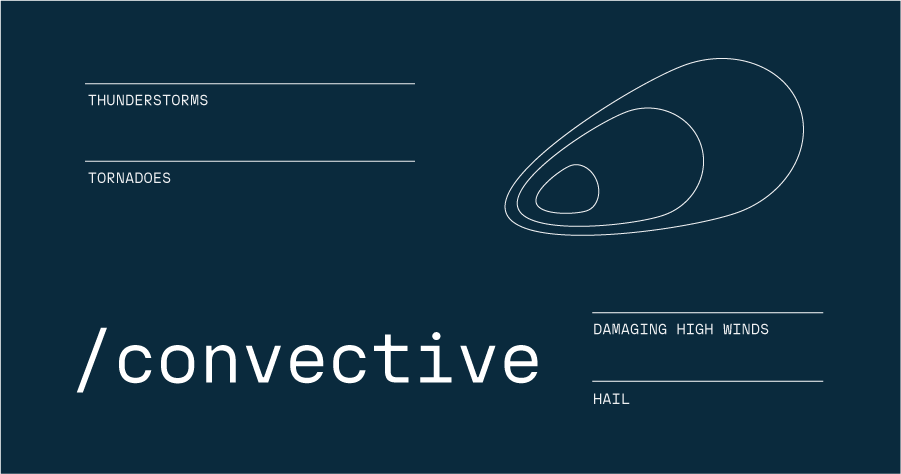
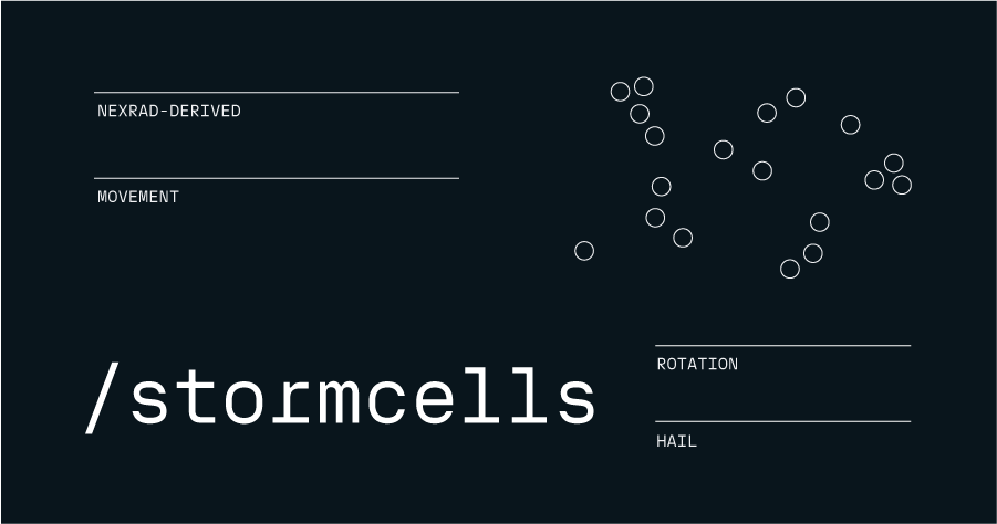
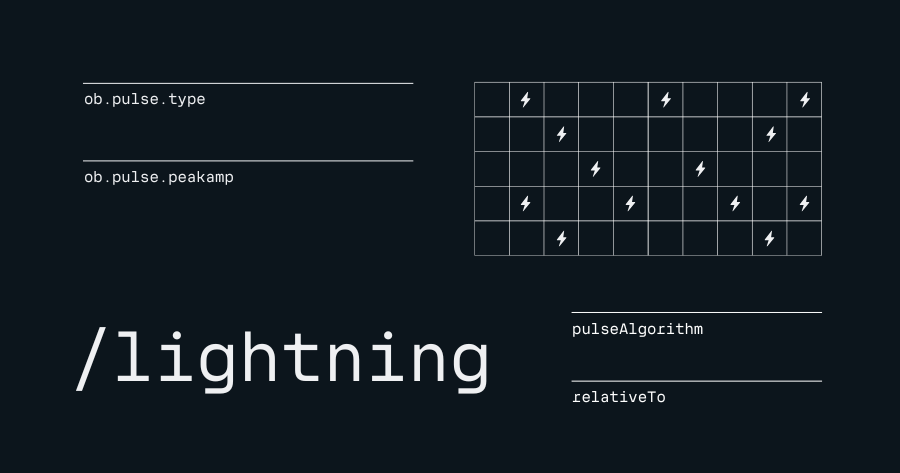
API endpoints
Mapping
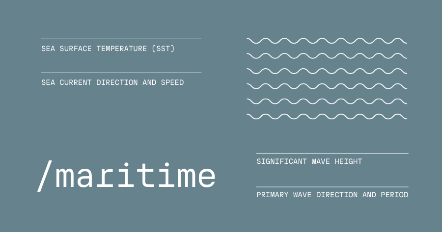
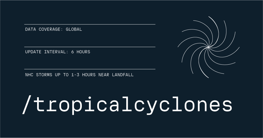
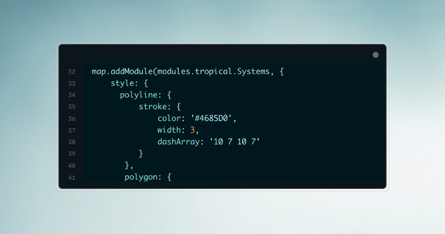
Mapping tools
Visualize severe weather data with Xweather's powerful mapping tools.
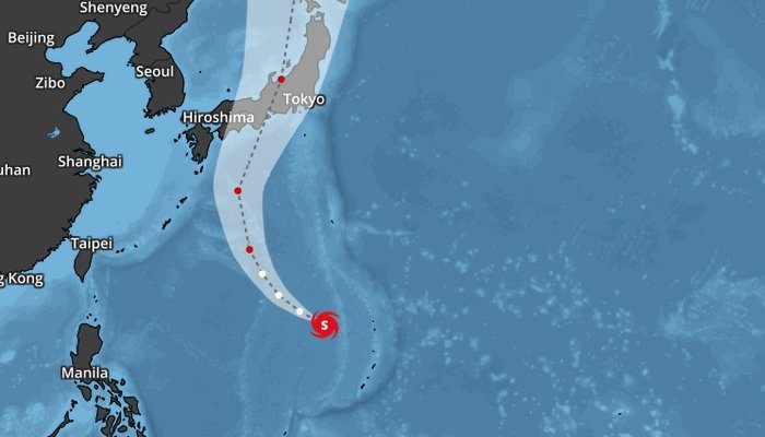
Weather science: Understanding tropical waves
Tropical waves are atmospheric disturbances that play a critical role in Atlantic hurricane formation, acting as precursors to most major storms. Originating along the African Easterly Jet, these features emerge from complex interactions between temperature gradients and wind patterns—understanding them is key to anticipating tropical cyclone development.
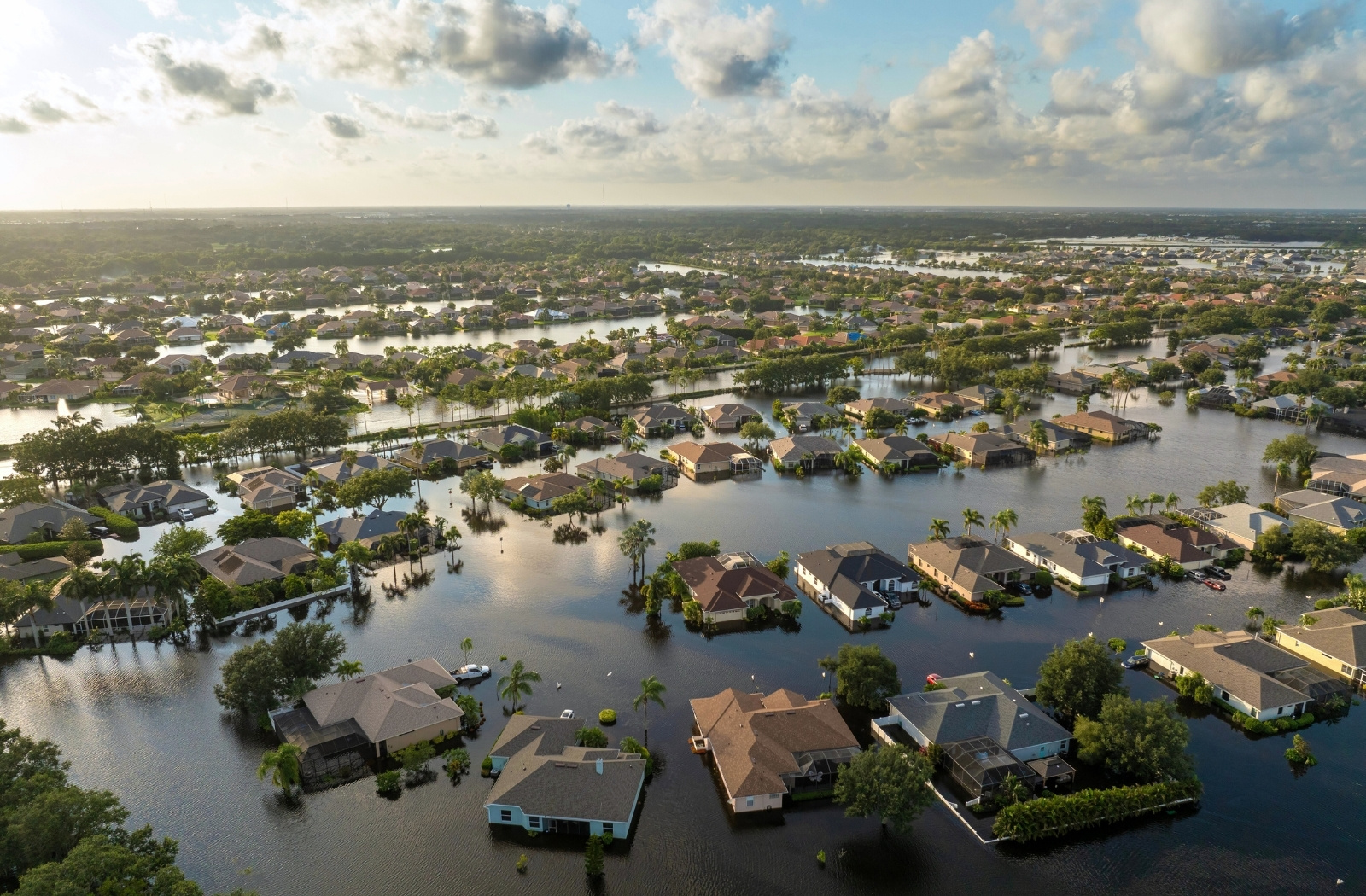
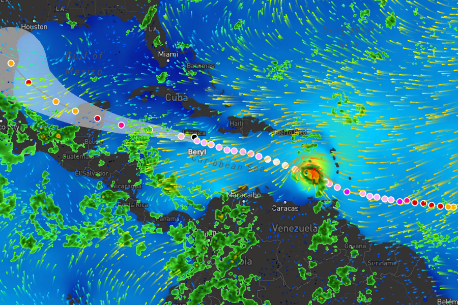
America’s war with billion-dollar hurricanes
From June to November, tropical cyclones in the Atlantic can intensify from small clusters of thunderstorms into massive, rotating systems spanning hundreds of miles and releasing extreme amounts of energy. Understanding their formation, scale, and impacts is essential, as landfalling cyclones are the leading cause of weather‑related economic losses and fatalities in the United States.
Get started with the Xweather API
Take our weather API, maps, and MapsGL offerings for a free 30-day test-drive. Simply sign up or contact our team to learn more.