
In the past, installing road sensors to get weather data meant making a large capital investment in weather stations. This meant that the number of sensors or observation points available to you was directly correlated to the amount of money available in your budget.
Now, though, low-cost IoT sensors and subscription services have made it cheaper and easier to get observation and forecast data for road networks. This means that other considerations, such as the need to get insights from each part of that road network, are becoming more important.
How many sensors is enough for best coverage?
To help answer that question, Xweather partnered with the Columbus Department of Public Service, Ohio, to conduct a research initiative over the winter of 2023-24 using Xweather Horizon. The findings will provide insight into determining the optimal number and distribution of road sensors. In April 2023, Columbus successfully installed a network of 20 Xcast sensors.
Throughout winter 2023-24, Columbus will pilot Xweather Horizon for potential improvements to its winter maintenance operations, while the Xweather team will analyze the sensor output and forecasts.
We spoke to Administrator Scott Tourville , Columbus Division of Infrastructure Management, about the deployment of Xweather Horizon and the system for winter 2024.
What made you apply to participate in the initiative? Have you been looking into deploying data-driven winter maintenance methods before?
Scott Tourville: We are constantly on the lookout for technologies that may aid our services. This includes advances in pavement sensors that provide additional quantitative data for use in our event operations. Applying for the Xweather Horizon research initiative was an easy decision for us as it provided an opportunity to "real world" test this new winter road maintenance solution to see how we might best use it.
"We are constantly on the lookout for technologies that may aid our services."
What's the size of your road network?
Scott Tourville: We have more than 6,000 lane miles of roadways in the city’s transportation network. Roadways include limited access freeways, large city downtown urban core roadways, suburban arterial, collector and residential streets, as well as rural roadways and urban neighborhood streets.
For plowing, we partner with neighboring communities to serve a portion of these roadways based on location and jurisdictional boundaries. As a result, the city is responsible for snow and ice control on more than 4,700 lane miles of city roadways. Our service area is over 226 square miles.
What has been your biggest challenge in winter road maintenance so far?
Scott Tourville: Located in the Midwest, Columbus is regularly hit with “kitchen sink” storms where we have varying conditions across the city, which may require different response types in different locations. Accurate weather data is critical to our responses and helps to ensure the best service possible. Additionally, the sheer volume of roadways restricted city services, at an expected premium service level, can cause stress for all staff involved.
Do you have any prior experience using sensor-based technology for your winter road maintenance?
Scott Tourville: We have used cameras, and some of our staff have previous sensor experience, but this is the first time our division has deployed them. We have also had access to Ohio Department of Transportation (ODOT) network of Road Weather Information System (RWIS) stations through our subscription weather service.
You have designed your network of 20 sensors together with the Xweather Horizon product team; how did you choose sensor locations and network layout?
Scott Tourville: The Xweather Horizon team asked us to place a portion of the sensors at preset spacing. We wanted to select a north/south running road to help us use the sensors more, because all of our “kitchen sink” storms seem to have a north/south dividing line to the different types of precipitation.
We also wanted to select a roadway with good pavement that isn’t expected to be resurfaced soon to minimize the chances of the sensors being damaged or removed for pavement operations. Additionally, we wanted to co-locate some TempCast sensors to help Xweather Horizon ensure those are as accurate as the GroundCast sensors.
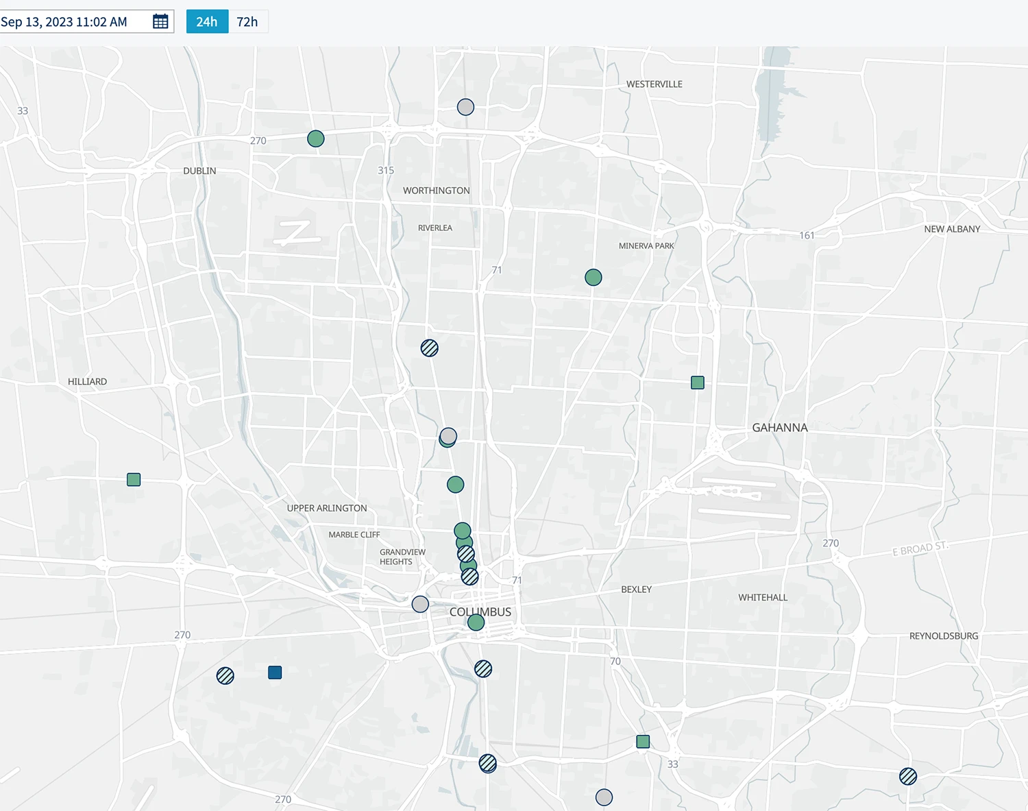
The balance of the sensors was spaced around the city to help collect data to aid in our operations for the upcoming winter season. One of our performance criteria is “passable” roadways during a storm. So we located most of the sensors in wheel paths to help take advantage of some of the data points the sensors are expected to provide. We also selected both varying lanes and directions of travel. This will help us take advantage of the data points provided, as well as use the sensor data in conjunction with our AVL/GIS technology.
What is your experience with sensor installation for this project?
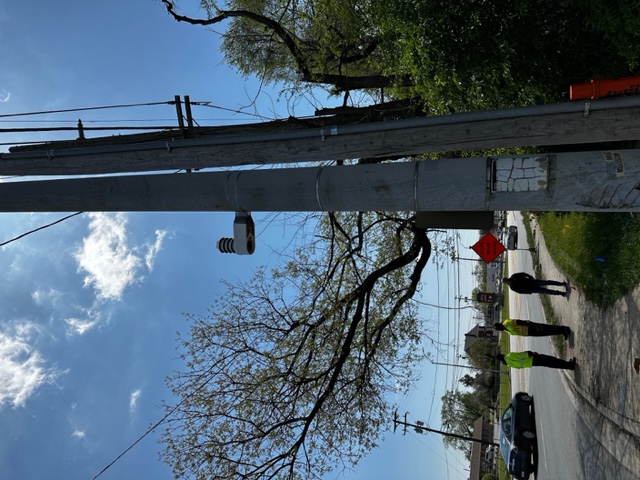
Scott Tourville: We received some training from the Xweather Horizon team prior to installation, which was helpful. We did not experience any significant issues, and things went smoothly. I would recommend making sure you have the right drill bit size available to ensure GroundCast installation is performed properly.
How will you use the observations and forecasts you get from Xweather Horizon?
Scott Tourville: We have started having conversations with both the Xweather Horizon team and our internal teams on the dashboards available; what integration options exist, and how to get all our data in one place. We’re excited to learn more about the “alerts” feature, as well as the potential to integrate sensors that are used by others, specifically the state DOT. It would also be interesting to know if the data could be integrated into our Warrior Watch system.
“We’re excited to learn more about the alerts feature available to us, as well as the potential to integrate sensors that are used by others, specifically the state DOT.”
Our team uses five service outposts with multiple shifts during the winter. Frontline leadership at the outposts will be trained on the technology as winter approaches. Our senior leadership will be heavily involved with using the sensors and dashboard to help make high-level decisions.