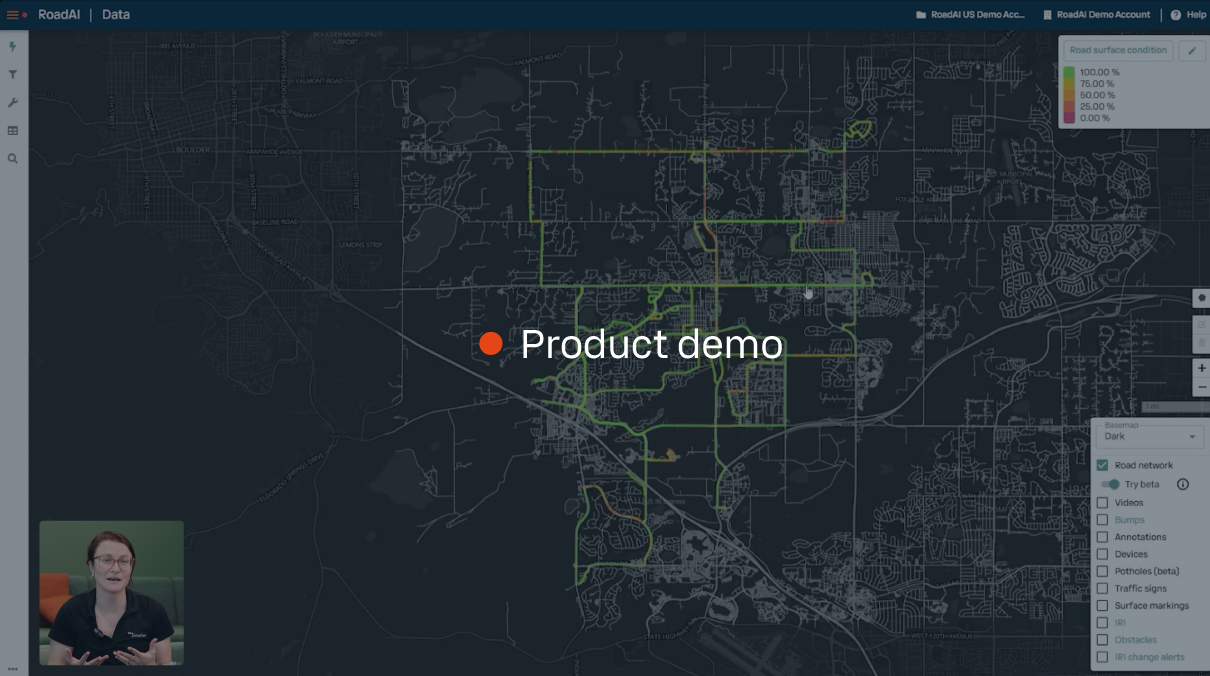
4× faster
than manual inspections
50% less
than the cost of traditional surveys
Same day
delivery of survey and inventory data
Install the app. Drive around your road network. RoadAI takes care of the rest.
Powered by computer vision and a proven methodology, RoadAI reliably assesses the road surface condition, giving you accurate, up-to-date road asset information faster, more frequently, and at a fraction of the cost of traditional surveys.
PAS 2161 certified
Approved road condition assessment technology
RoadAI is officially approved by the UK's Department for Transport for surveying road conditions under the PAS 2161 standard. Independent certification confirms that RoadAI delivers accurate and reliable road condition data, giving road agencies and asset managers confidence in adopting efficient, data-driven road maintenance practices.
Developed with the British Standards Institution and the UK's Transport Research Laboratory, PAS 2161 is the most comprehensive technical evaluation of road condition monitoring technology ever carried out.

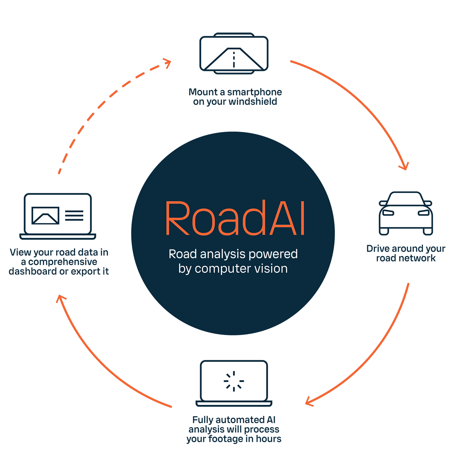

Continuously assess your road network
As a leading pavement management software, RoadAI provides the tools and data you need to make effective decisions.
Data collection
Collect data with smartphone whenever and wherever you drive.
Efficient analysis
Fast, objective, and transparent analysis with same-day delivery of results.
Road network overview
Up-to-date data of your entire road network with video footage you can refer back to at any time.
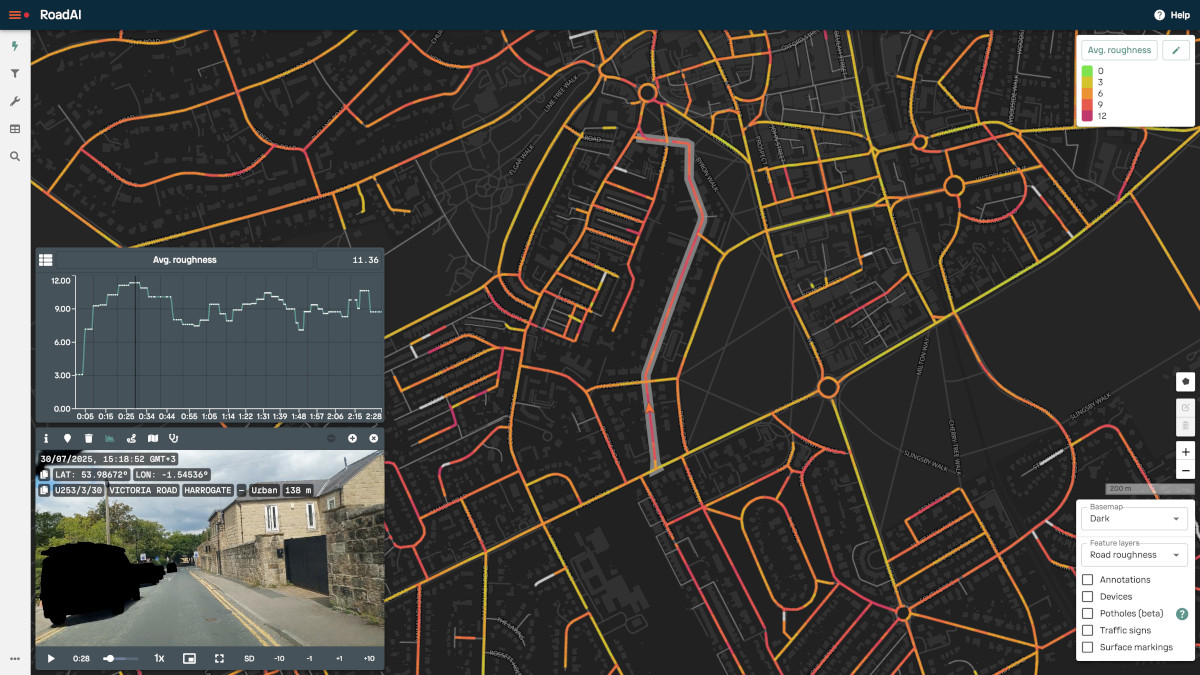
Actionable intelligence from day one
RoadAI integrates connected car telemetry from almost two million vehicles to deliver actionable insights for your road network from day one. No surveys needed. Just instant intelligence on which roads need attention from the moment you start using RoadAI.
Network-wide IRI scores from day one
Fresh data every week with zero effort
Historical trends to catch problems early

Reliable detection of defects and assets
Powered by computer vision, RoadAI detects multiple distresses, fixes, and road assets. Work with asset-specific data or overall road surface condition ratings.
Distress detection
Cracking: Alligator, longitudinal, transverse, and wheel track
Potholes: Minor, moderate, and severe
Fretting: Moderate and severe
Other Distresses: Settlement, edge deterioration, and bleeding
Fix detection
Patching: Area and spot
Crack sealing: Longitudinal and transverse
Asset detection
Traffic signs: Prohibitory, indication, mandatory, and regulatory
Line markings: Longitudinal
Surface markings: Stop, yield, speed limit, and others
Other assets: Guard rails, street lights, manholes, and storm drains
Intuitive interface. Powerful features.
View your data in an interactive display and integrate it with your asset management tools using our data exports and developer-friendly API.
Computer vision labels
Road condition data overlays
Multiple feature layers
Data reports
Annotations and road assets
Video playback
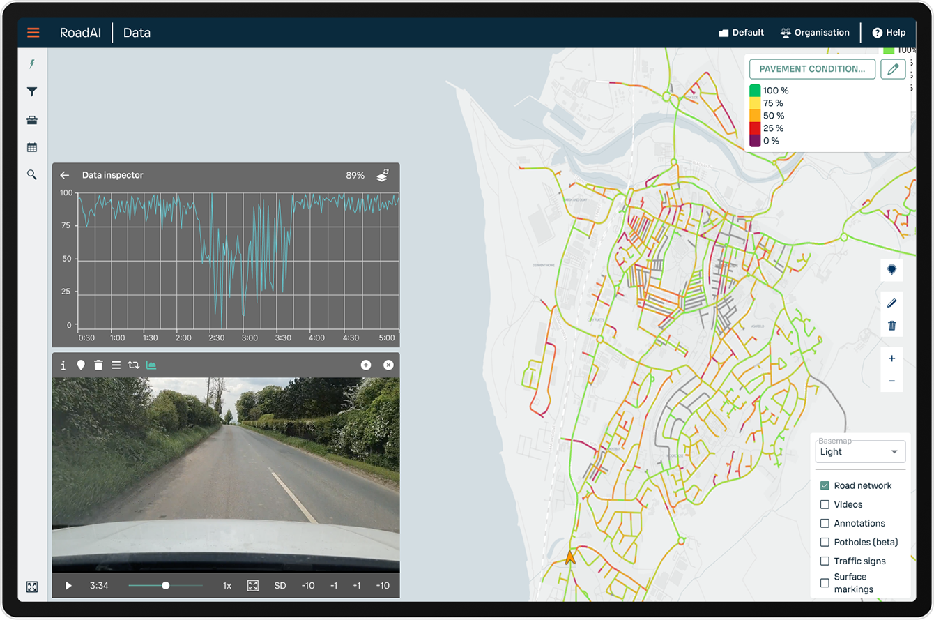

Computer vision labels
Road condition data overlays
Multiple feature layers
Data reports
Annotations and road assets
Video playback
Success stories
In their own words…

Lauderdale County, Tennessee
"We couldn’t afford $200,000 for some of the larger solutions. RoadAI gave us the data we needed without breaking the budget.”

Northumberland, United Kingdom
"The system has helped us tremendously with efficiency, accuracy, and maintaining a record of our road conditions."

The Regional Municipality of Waterloo, Canada
"The first benefit we picked up on right away was the ease of data collection. It's great to know that it is available and not locked away in a black box."
Drive along with RoadAI
We took a ride in Arizona's wild west with John Merideth from the Southeastern Arizona Governments Organization to show how easy it is to collect road asset data with a just smartphone and RoadAI. Watch the video and see for yourself!
See a demo
See how RoadAI transforms road asset management
Security and quality built in
ISO 27001
ISO 9001
