WeatherBlox - Map Listing
Map ListingObject
aeris.wxblox.views.MapListingData Usage
None
The MapListing view displays a listing or menu of maps based on specific map categories or map types. This view is typically used alongside a MapViewer or MapController view to control the current weather data layers being displayed.
Examples
Display a menu just for layers in the Radar/Satellite category as a simple list:
const view = new aeris.wxblox.views.MapListing('#wxblox', {
categories: ['radar/sat']
});
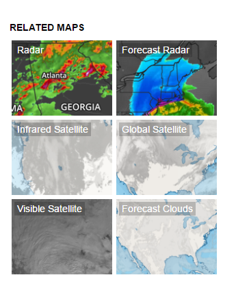
view.load();Display a menu for a specific set of layers as a thumbnail grid:
const view = new aeris.wxblox.views.MapListing('#wxblox', {
    type: 'thumbs',
    codes: ['radar', 'temperatures', 'alerts']
});
view.load();
Display a menu for specific categories and set of layers as a thumbnail grid:
const view = new aeris.wxblox.views.MapListing('#wxblox', {
    type: 'thumbs',
    categories: ['radar/sat'],
    codes: ['alerts', 'stormcells', 'stormreports']
});
view.load();
Configuration
The following configuration options are supported by this view:
| Option | Description | Default |
|---|---|---|
type | Type: string () | |
categories | Type: array () | |
codes | Type: array () | |
links | Type: boolean () | |
enabled | Type: boolean () | |
metric | Type: boolean () | |
renderNoData | Type: boolean () | |
request | Type: object () | |
Methods
The following methods are supported by instances of this view:
set(:string)setRegion(:string)rendered()show()hide()params()setUnits(:number)units()enabled()setMetric(:boolean)load(:object)refresh()isMetric()Events
The following events are triggered by instances of this view:
selectrenderrender:beforerender:afterload:startload:doneload:errorchange:units