"Those who cannot learn from history are doomed to repeat it."
George Santayana
Meteorologists are preoccupied with predicting some future state of the atmosphere. Too many days it's a thankless, seemingly impossible task. To have any real success forecasting the weather it's essential to look back in time to see what already happened — and why?
Our humbling new reality: Every storm is different; each weather scenario uniquely challenging. The atmosphere has never been identical to the one outside your window right now. The only way to accurately model the future is to analyze the past, with a high degree of reliability and granularity. Counter-intuitively, there is much value to be unlocked by carefully examining past weather trends, tracking repeatable patterns in weather and climate that optimize business operations for inevitable swings in temperature, moisture, and severity. Past is prologue. The weather never repeats, but often - it rhymes.
Whether you're leveraging historical precipitation data to power a smart irrigation system, predicting future energy consumption for a rooftop HVAC unit or analyzing the effectiveness of your emergency response crews during a severe weather event, your challenges are similar to others. That's where Xweather's database of historical weather data and imagery comes in, allowing you to turn data into business intelligence.

Xweather API
Show me the data. What does it mean and why should I care? With a 5-year database of global weather observations: 40,000+ points and growing, Xweather has the tools and data sets that take the mystery and randomness out of the weather, helping you unlock future trends.

Xweather raster maps
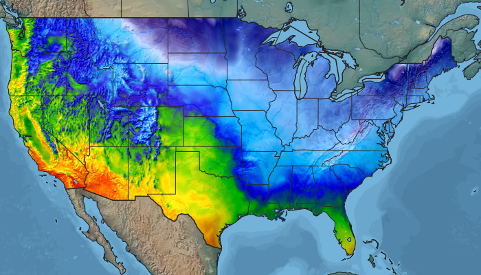
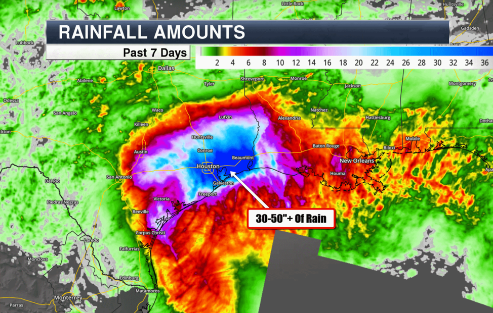
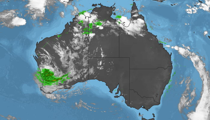
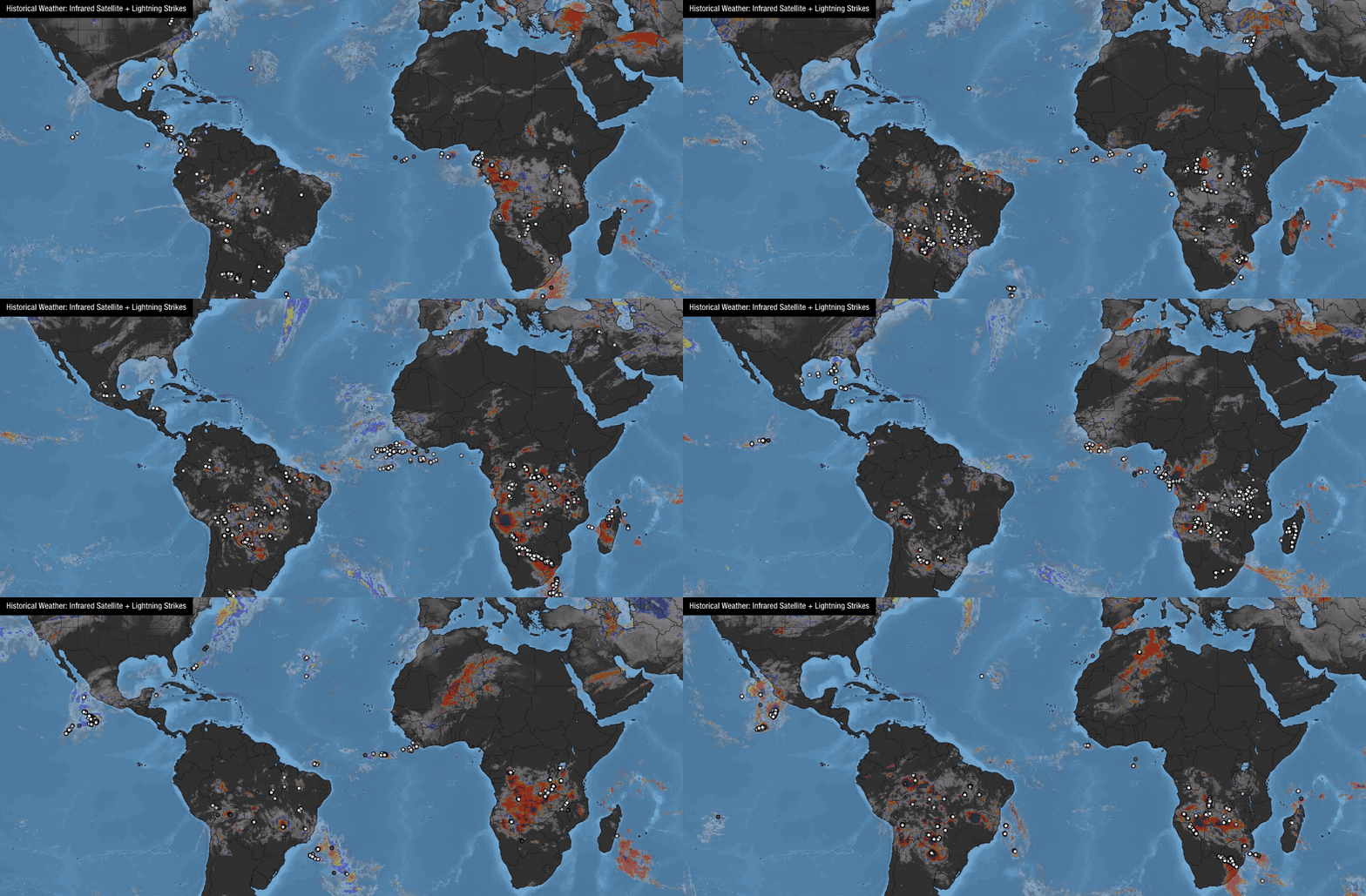
Xweather Raster Maps is a highly customizable tile mapping platform that allows you to visualize weather in high-definition, with the option to extend back to the last 30 days. Adding historical weather to your mapping application clarifies the weather story, making patterns and trends more obvious, relevant, and actionable.

In a world of simplistic weather applications, historical analysis adds context, perspective, and the hyper-relevant data streams you need to see what you've been missing. We'll probably never be able to cool a warm front or adjust the tempo of the wind, rain, or snow, but tapping the full power of historical weather enhances data analytics and reduces risk.
Let the Xweather team explain how embracing the past can drive future success.
Get started
Start your free 30-day trial today and check out our documentation to start querying our historical weather data archive.
