Join us: Live Q&A session with the Xweather Developers
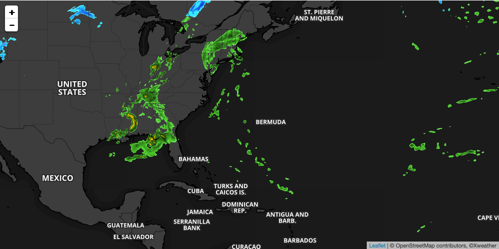
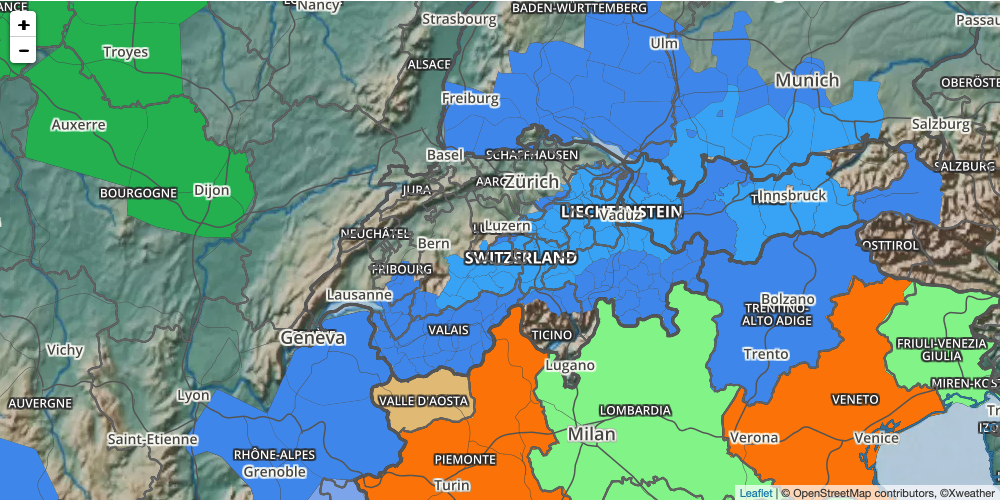
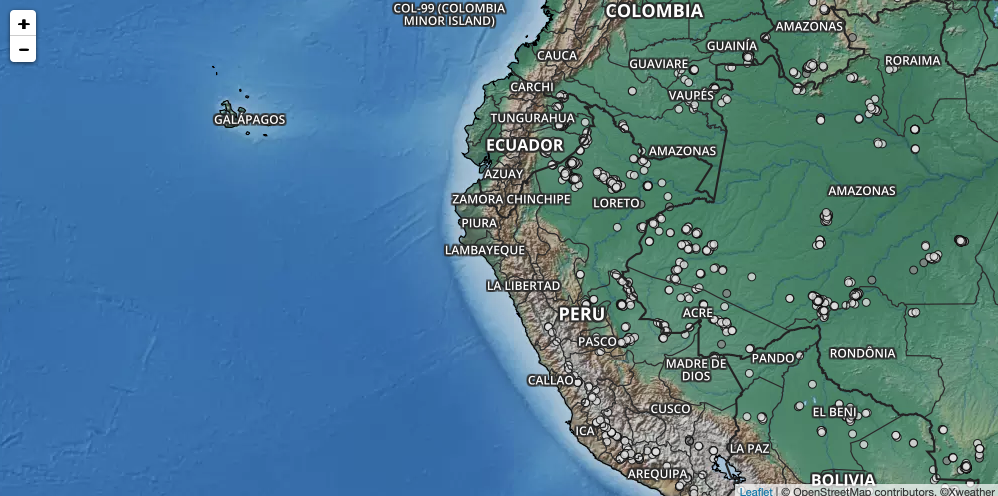
Raster maps allow users to visualize robust data from both public and proprietary sources and weather station networks. Don't miss this opportunity to submit your questions on our raster maps to the Xweather Developer Team for this live Q&A session.
The most complete weather mapping platform available.
Popular raster layers
Get started: Trials + pricing
Access to Xweather raster maps starts with an Xweather Flex subscription, our convenient weather API and raster mapping bundle. Get the data you need, when you need it, with access to quick-built, high-resolution weather visuals.
Start your free 30-day trial, build your Xweather Flex subscription, or contact us to learn more.